Area Overview for SE18 6LZ
Photos of SE18 6LZ
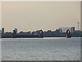
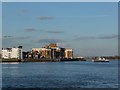
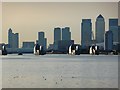

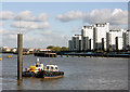
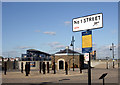

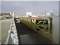
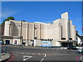
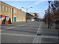
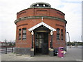
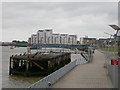
100 photos from this area
Area Information
Key information about the SE18 6LZ including its size, population, and administrative classification.
- Area Type
- Postcode
- Area Size
- 4597 m²
- Population
- 1934
- Population Density
- 8205 people/km²
House Prices in SE18 6LZ
31
Properties
£200,000
Average Sold Price
£200,000
Lowest Price
£200,000
Highest Price
Showing 31 properties
| Address | Type | Beds | Baths | Last Sale Price | Last Sale Date | |
|---|---|---|---|---|---|---|
| 54A Hare Street, Woolwich, SE18 6LZ | Flat | - | - | £200,000 | Feb 2019 | |
| Sports Direct.com, 4-10 Hare Street, Woolwich, SE18 6LZ | retail_financial | - | - | - | - | |
| 52B Hare Street, Woolwich, SE18 6LZ | Flat | - | - | - | - | |
| 44A Hare Street, Woolwich, SE18 6LZ | Flat | - | - | - | - | |
| 58A Hare Street, Woolwich, SE18 6LZ | Maisonette | - | - | - | - | |
| 62E Hare Street, Woolwich, SE18 6LZ | Flat | - | - | - | - | |
| 46C Hare Street, Woolwich, SE18 6LZ | undefined | - | - | - | - | |
| 44B Hare Street, Woolwich, SE18 6LZ | Flat | 2 | 1 | - | - | |
| South London & Maudsley Nhs Foundation Trust, 36-42 Hare Street, Woolwich, SE18 6LZ | retail_financial | - | - | - | - | |
| Flat 10, Scottley House, 32 Hare Street, Woolwich, SE18 6LZ | Flat | - | - | - | - |
Page 1 of 4
Energy Efficiency in SE18 6LZ
Amenities
Schools
| Rank | School | Type | Entry gender | Ages |
|---|
Explore more schools in this area
Go to Schools tabDemographics
Household Size
One person
most common
Accommodation Type
Flats
most common
Tenure
28
majority
Ethnic Group
White
most common
Religion
N/A
most common
Household Composition
N/A
most common
Age
47
median
Adults (30-64 years)
most common
Household Deprivation
N/A
with no deprivation
NS-SEC
31
in Lower managerial occupations
Explore more demographic insights in this area
Go to Demographics tabPlanning
Planning Constraints
- Flood RiskPremium
- Ramsar Wetland SitesPremium
- Area of Outstanding Natural BeautyPremium
- Protected Nature ReservePremium
- Protected WoodlandPremium