Area Overview for SE18 2DF
Photos of SE18 2DF
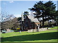

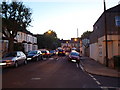
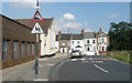
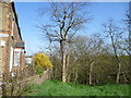
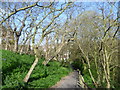
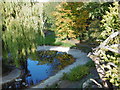
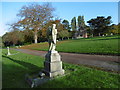
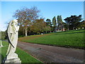
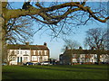
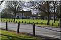
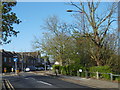
100 photos from this area
Area Information
Key information about the SE18 2DF including its size, population, and administrative classification.
- Area Type
- Postcode
- Area Size
- 2.0 hectares
- Population
- 2495
- Population Density
- 4947 people/km²
House Prices in SE18 2DF
36
Properties
£223,363
Average Sold Price
£72,000
Lowest Price
£440,000
Highest Price
Showing 36 properties
| Address | Type | Beds | Baths | Last Sale Price | Last Sale Date | |
|---|---|---|---|---|---|---|
| 76 Kingsdale Road, Plumstead, SE18 2DF | Detached | 3 | 1 | £350,000 | Jan 2024 | |
| 106 Kingsdale Road, Plumstead, SE18 2DF | Flat | 2 | 1 | £252,000 | Apr 2022 | |
| 108 Kingsdale Road, Plumstead, SE18 2DF | Semi-detached | 1 | 2 | £440,000 | Feb 2020 | |
| 94 Kingsdale Road, Plumstead, SE18 2DF | Flat | - | - | £238,500 | Jul 2018 | |
| 78 Kingsdale Road, Plumstead, SE18 2DF | Flat | 2 | - | £155,000 | Jun 2018 | |
| 92 Kingsdale Road, Plumstead, SE18 2DF | Flat | - | - | £255,000 | May 2018 | |
| 114 Kingsdale Road, Plumstead, SE18 2DF | Semi-detached | 5 | 1 | £345,000 | Jun 2015 | |
| 74 Kingsdale Road, Plumstead, SE18 2DF | Semi-detached | 3 | - | £235,000 | Apr 2014 | |
| 66 Kingsdale Road, Plumstead, SE18 2DF | Bungalow | 2 | - | £200,000 | Jan 2013 | |
| 110 Kingsdale Road, Plumstead, SE18 2DF | house | - | - | £215,000 | Aug 2010 |
Page 1 of 4
Energy Efficiency in SE18 2DF
Amenities
Schools
| Rank | School | Type | Entry gender | Ages |
|---|
Explore more schools in this area
Go to Schools tabDemographics
Household Size
Family (3-5 people)
most common
Accommodation Type
Houses
most common
Tenure
38
majority
Ethnic Group
White
most common
Religion
N/A
most common
Household Composition
N/A
most common
Age
47
median
Adults (30-64 years)
most common
Household Deprivation
N/A
with no deprivation
NS-SEC
26
in Lower managerial occupations
Explore more demographic insights in this area
Go to Demographics tabPlanning
Planning Constraints
- Flood RiskPremium
- Ramsar Wetland SitesPremium
- Area of Outstanding Natural BeautyPremium
- Protected Nature ReservePremium
- Protected WoodlandPremium