Area Overview for SE18 2DE
Photos of SE18 2DE
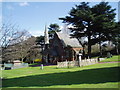

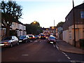
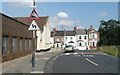
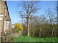
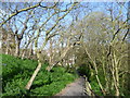
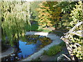
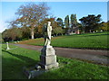
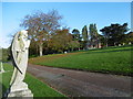
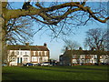
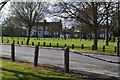
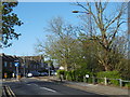
100 photos from this area
Area Information
Key information about the SE18 2DE including its size, population, and administrative classification.
- Area Type
- Postcode
- Area Size
- 8982 m²
- Population
- 2495
- Population Density
- 4947 people/km²
House Prices in SE18 2DE
31
Properties
£241,389
Average Sold Price
£50,000
Lowest Price
£390,000
Highest Price
Showing 31 properties
| Address | Type | Beds | Baths | Last Sale Price | Last Sale Date | |
|---|---|---|---|---|---|---|
| 109 Kingsdale Road, Plumstead, SE18 2DE | house | - | - | £320,000 | Feb 2021 | |
| 89 Kingsdale Road, Plumstead, SE18 2DE | Terraced | 3 | 1 | £350,000 | Mar 2020 | |
| 79 Kingsdale Road, Plumstead, SE18 2DE | house | 4 | 2 | £390,000 | Sep 2018 | |
| 67 Kingsdale Road, Plumstead, SE18 2DE | Terraced | 3 | - | £262,500 | Jan 2014 | |
| 113 Kingsdale Road, Plumstead, SE18 2DE | house | - | - | £200,000 | Dec 2012 | |
| 111 Kingsdale Road, Plumstead, SE18 2DE | house | - | - | £190,000 | Feb 2008 | |
| 115 Kingsdale Road, Plumstead, SE18 2DE | house | - | - | £210,000 | Sep 2007 | |
| 99 Kingsdale Road, Plumstead, SE18 2DE | Retail | 3 | 1 | £199,999 | Aug 2007 | |
| 81 Kingsdale Road, Plumstead, SE18 2DE | Terraced | 3 | 1 | £50,000 | Jul 1996 | |
| 57 Kingsdale Road, Plumstead, SE18 2DE | Flat | 3 | 1 | - | - |
Page 1 of 4
Energy Efficiency in SE18 2DE
Amenities
Schools
| Rank | School | Type | Entry gender | Ages |
|---|
Explore more schools in this area
Go to Schools tabDemographics
Household Size
Family (3-5 people)
most common
Accommodation Type
Houses
most common
Tenure
38
majority
Ethnic Group
White
most common
Religion
N/A
most common
Household Composition
N/A
most common
Age
47
median
Adults (30-64 years)
most common
Household Deprivation
N/A
with no deprivation
NS-SEC
26
in Lower managerial occupations
Explore more demographic insights in this area
Go to Demographics tabPlanning
Planning Constraints
- Flood RiskPremium
- Ramsar Wetland SitesPremium
- Area of Outstanding Natural BeautyPremium
- Protected Nature ReservePremium
- Protected WoodlandPremium