Area Overview for SE18 1EL
Photos of SE18 1EL
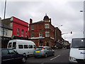
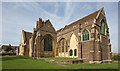
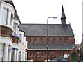
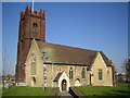
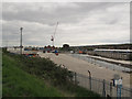
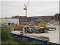
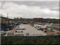
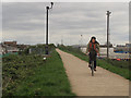
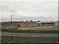
100 photos from this area
Area Information
Key information about the SE18 1EL including its size, population, and administrative classification.
- Area Type
- Postcode
- Area Size
- 7752 m²
- Population
- 2195
- Population Density
- 10243 people/km²
House Prices in SE18 1EL
25
Properties
£255,347
Average Sold Price
£68,000
Lowest Price
£405,000
Highest Price
Showing 25 properties
| Address | Type | Beds | Baths | Last Sale Price | Last Sale Date | |
|---|---|---|---|---|---|---|
| 94 Brookdene Road, Plumstead, SE18 1EL | house | 3 | 1 | £405,000 | Feb 2023 | |
| 118 Brookdene Road, Plumstead, SE18 1EL | house | - | - | £333,000 | Apr 2021 | |
| 116 Brookdene Road, Plumstead, SE18 1EL | house | - | - | £305,250 | Apr 2021 | |
| 108 Brookdene Road, Plumstead, SE18 1EL | Terraced | 3 | 1 | £360,000 | Jul 2019 | |
| 92 Brookdene Road, Plumstead, SE18 1EL | Terraced | 3 | 1 | £380,000 | Jun 2019 | |
| 106 Brookdene Road, Plumstead, SE18 1EL | Terraced | 2 | 1 | £353,000 | Sep 2017 | |
| 90 Brookdene Road, Plumstead, SE18 1EL | Terraced | 3 | 1 | £350,000 | Aug 2017 | |
| 134 Brookdene Road, Plumstead, SE18 1EL | house | - | - | £350,000 | Mar 2017 | |
| 120 Brookdene Road, Plumstead, SE18 1EL | house | - | - | £220,000 | Jan 2016 | |
| 128 Brookdene Road, Plumstead, SE18 1EL | Terraced | 4 | 2 | £335,000 | Oct 2015 |
Page 1 of 3
Energy Efficiency in SE18 1EL
Amenities
Schools
| Rank | School | Type | Entry gender | Ages |
|---|
Explore more schools in this area
Go to Schools tabDemographics
Household Size
Family (3-5 people)
most common
Accommodation Type
Houses
most common
Tenure
48
majority
Ethnic Group
asian_total
most common
Religion
N/A
most common
Household Composition
N/A
most common
Age
47
median
Adults (30-64 years)
most common
Household Deprivation
N/A
with no deprivation
NS-SEC
23
in Lower managerial occupations
Explore more demographic insights in this area
Go to Demographics tabPlanning
Planning Constraints
- Flood RiskPremium
- Ramsar Wetland SitesPremium
- Area of Outstanding Natural BeautyPremium
- Protected Nature ReservePremium
- Protected WoodlandPremium