Area Overview for SE16 6RU
Photos of SE16 6RU
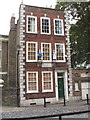
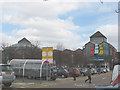
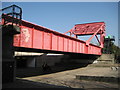
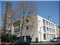
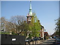
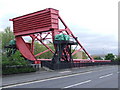
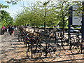
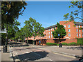
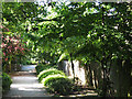
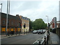
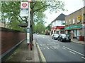
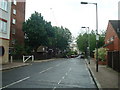
100 photos from this area
Area Information
Key information about the SE16 6RU including its size, population, and administrative classification.
- Area Type
- Postcode
- Area Size
- 886 m²
- Population
- 1498
- Population Density
- 10966 people/km²
House Prices in SE16 6RU
10
Properties
£275,786
Average Sold Price
£135,000
Lowest Price
£407,000
Highest Price
Showing 10 properties
| Address | Type | Beds | Baths | Last Sale Price | Last Sale Date | |
|---|---|---|---|---|---|---|
| 6 Hawke Place, London, SE16 6RU | Flat | - | - | £375,000 | May 2016 | |
| 3 Hawke Place, London, SE16 6RU | Semi-detached | 3 | 2 | £407,000 | Oct 2010 | |
| 1 Hawke Place, London, SE16 6RU | Flat | 1 | 1 | £405,000 | Jun 2004 | |
| 7 Hawke Place, London, SE16 6RU | Flat | - | - | £172,500 | Apr 2004 | |
| 5 Hawke Place, London, SE16 6RU | Flat | - | - | £166,000 | Jan 2003 | |
| 2 Hawke Place, London, SE16 6RU | Semi-detached | 2 | 1 | £270,000 | Nov 2002 | |
| 4 Hawke Place, London, SE16 6RU | Flat | - | - | £135,000 | Mar 2002 | |
| 1C Hawke Place, London, SE16 6RU | Flat | - | - | - | - | |
| 1A Hawke Place, London, SE16 6RU | Flat | - | - | - | - | |
| 1B Hawke Place, London, SE16 6RU | Maisonette | - | - | - | - |
Energy Efficiency in SE16 6RU
Amenities
Schools
| Rank | School | Type | Entry gender | Ages |
|---|
Explore more schools in this area
Go to Schools tabDemographics
Household Size
Two person
most common
Accommodation Type
Flats
most common
Tenure
48
majority
Ethnic Group
White
most common
Religion
N/A
most common
Household Composition
N/A
most common
Age
47
median
Adults (30-64 years)
most common
Household Deprivation
N/A
with no deprivation
NS-SEC
66
in Lower managerial occupations
Explore more demographic insights in this area
Go to Demographics tabPlanning
Planning Constraints
- Flood RiskPremium
- Ramsar Wetland SitesPremium
- Area of Outstanding Natural BeautyPremium
- Protected Nature ReservePremium
- Protected WoodlandPremium