Area Overview for SE16 6AP
Photos of SE16 6AP
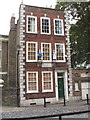
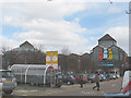
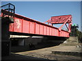
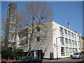
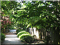
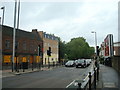
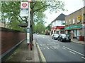
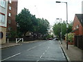
100 photos from this area
Area Information
Key information about the SE16 6AP including its size, population, and administrative classification.
- Area Type
- Postcode
- Area Size
- 4202 m²
- Population
- 1498
- Population Density
- 10966 people/km²
House Prices in SE16 6AP
18
Properties
£459,107
Average Sold Price
£95,000
Lowest Price
£865,000
Highest Price
Showing 18 properties
| Address | Type | Beds | Baths | Last Sale Price | Last Sale Date | |
|---|---|---|---|---|---|---|
| 3 Chargrove Close, London, SE16 6AP | house | 1 | 2 | £800,000 | Mar 2025 | |
| 1 Chargrove Close, London, SE16 6AP | Terraced | 5 | 1 | £827,500 | Feb 2023 | |
| 11 Chargrove Close, London, SE16 6AP | house | 3 | 2 | £865,000 | Nov 2022 | |
| 7 Chargrove Close, London, SE16 6AP | Terraced | 4 | 2 | £865,000 | Aug 2017 | |
| 6 Chargrove Close, London, SE16 6AP | house | 3 | - | £473,000 | May 2013 | |
| 8 Chargrove Close, London, SE16 6AP | house | - | - | £380,000 | Sep 2009 | |
| 17 Chargrove Close, London, SE16 6AP | Terraced | 3 | 2 | £377,500 | Aug 2009 | |
| 18 Chargrove Close, London, SE16 6AP | Terraced | - | - | £365,000 | Jul 2006 | |
| 14 Chargrove Close, London, SE16 6AP | Semi-detached | 4 | 2 | £320,000 | Mar 2006 | |
| 4 Chargrove Close, London, SE16 6AP | house | 3 | 2 | £330,000 | Jul 2004 |
Page 1 of 2
Energy Efficiency in SE16 6AP
Amenities
Schools
| Rank | School | Type | Entry gender | Ages |
|---|
Explore more schools in this area
Go to Schools tabDemographics
Household Size
Two person
most common
Accommodation Type
Flats
most common
Tenure
48
majority
Ethnic Group
White
most common
Religion
N/A
most common
Household Composition
N/A
most common
Age
47
median
Adults (30-64 years)
most common
Household Deprivation
N/A
with no deprivation
NS-SEC
66
in Lower managerial occupations
Explore more demographic insights in this area
Go to Demographics tabPlanning
Planning Constraints
- Flood RiskPremium
- Ramsar Wetland SitesPremium
- Area of Outstanding Natural BeautyPremium
- Protected Nature ReservePremium
- Protected WoodlandPremium