Area Overview for SE15 4BS
Photos of SE15 4BS
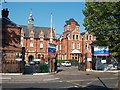
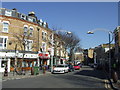
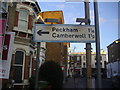
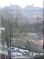
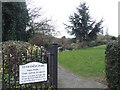
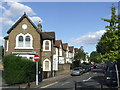
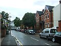
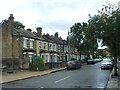
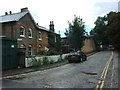
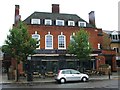
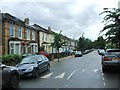
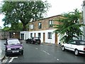
95 photos from this area
Area Information
Key information about the SE15 4BS including its size, population, and administrative classification.
- Area Type
- Postcode
- Area Size
- 5598 m²
- Population
- 1882
- Population Density
- 10705 people/km²
House Prices in SE15 4BS
36
Properties
£511,633
Average Sold Price
£140,069
Lowest Price
£1,200,000
Highest Price
Showing 36 properties
| Address | Type | Beds | Baths | Last Sale Price | Last Sale Date | |
|---|---|---|---|---|---|---|
| 31 Danby Street, London, SE15 4BS | Terraced | 2 | 1 | £945,000 | Oct 2024 | |
| 29 Danby Street, London, SE15 4BS | Terraced | 3 | 2 | £1,098,000 | Feb 2024 | |
| 11A Danby Street, London, SE15 4BS | Flat | 2 | 1 | £795,000 | Feb 2024 | |
| 33 Danby Street, London, SE15 4BS | house | 3 | - | £850,000 | Jun 2021 | |
| 41 Danby Street, London, SE15 4BS | house | 3 | - | £1,200,000 | Jan 2021 | |
| 9A Danby Street, London, SE15 4BS | Flat | - | - | £481,500 | Sep 2017 | |
| 19 Danby Street, London, SE15 4BS | Semi-detached | 3 | 1 | £940,000 | Jan 2017 | |
| 7A Danby Street, London, SE15 4BS | Flat | - | - | £280,000 | Jan 2013 | |
| 23 Danby Street, London, SE15 4BS | house | 3 | - | £530,000 | Jul 2010 | |
| 43 Danby Street, London, SE15 4BS | house | 3 | - | £485,500 | Feb 2010 |
Page 1 of 4
Energy Efficiency in SE15 4BS
Amenities
Schools
| Rank | School | Type | Entry gender | Ages |
|---|
Explore more schools in this area
Go to Schools tabDemographics
Household Size
One person
most common
Accommodation Type
Houses
most common
Tenure
45
majority
Ethnic Group
White
most common
Religion
N/A
most common
Household Composition
N/A
most common
Age
47
median
Adults (30-64 years)
most common
Household Deprivation
N/A
with no deprivation
NS-SEC
55
in Lower managerial occupations
Explore more demographic insights in this area
Go to Demographics tabPlanning
Planning Constraints
- Flood RiskPremium
- Ramsar Wetland SitesPremium
- Area of Outstanding Natural BeautyPremium
- Protected Nature ReservePremium
- Protected WoodlandPremium