Area Overview for SE15 3LJ
Photos of SE15 3LJ
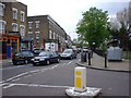
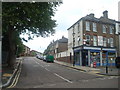
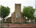
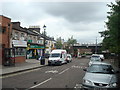
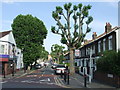
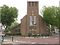
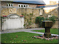

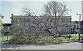
100 photos from this area
Area Information
Key information about the SE15 3LJ including its size, population, and administrative classification.
- Area Type
- Postcode
- Area Size
- 7740 m²
- Population
- 2125
- Population Density
- 15534 people/km²
House Prices in SE15 3LJ
50
Properties
£343,162
Average Sold Price
£52,550
Lowest Price
£745,000
Highest Price
Showing 50 properties
| Address | Type | Beds | Baths | Last Sale Price | Last Sale Date | |
|---|---|---|---|---|---|---|
| 15 Limes Walk, London, SE15 3LJ | Terraced | 3 | 1 | £657,200 | Aug 2025 | |
| 35 Limes Walk, London, SE15 3LJ | house | - | - | £520,000 | Dec 2024 | |
| 22 Limes Walk, London, SE15 3LJ | house | 3 | 2 | £745,000 | Jan 2023 | |
| 26 Limes Walk, London, SE15 3LJ | Flat | - | - | £200,000 | Dec 2021 | |
| 19 Limes Walk, London, SE15 3LJ | house | - | - | £530,000 | Feb 2021 | |
| 24 Limes Walk, London, SE15 3LJ | house | - | - | £545,000 | Dec 2020 | |
| 21 Limes Walk, London, SE15 3LJ | house | - | - | £427,500 | Nov 2018 | |
| 37 Limes Walk, London, SE15 3LJ | Terraced | 2 | 1 | £380,000 | Jul 2018 | |
| 27 Limes Walk, London, SE15 3LJ | Terraced | 2 | - | £425,000 | Oct 2016 | |
| 34 Limes Walk, London, SE15 3LJ | Maisonette | - | - | £295,000 | Jul 2013 |
Page 1 of 5
Energy Efficiency in SE15 3LJ
Amenities
Schools
| Rank | School | Type | Entry gender | Ages |
|---|
Explore more schools in this area
Go to Schools tabDemographics
Household Size
Family (3-5 people)
most common
Accommodation Type
Flats
most common
Tenure
44
majority
Ethnic Group
White
most common
Religion
N/A
most common
Household Composition
N/A
most common
Age
47
median
Adults (30-64 years)
most common
Household Deprivation
N/A
with no deprivation
NS-SEC
43
in Lower managerial occupations
Explore more demographic insights in this area
Go to Demographics tabPlanning
Planning Constraints
- Flood RiskPremium
- Ramsar Wetland SitesPremium
- Area of Outstanding Natural BeautyPremium
- Protected Nature ReservePremium
- Protected WoodlandPremium