Area Overview for SE15 2LF
Photos of SE15 2LF
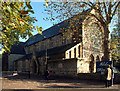
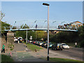


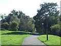

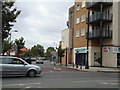
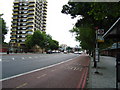

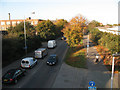
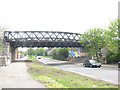
100 photos from this area
Area Information
Key information about the SE15 2LF including its size, population, and administrative classification.
- Area Type
- Postcode
- Area Size
- 3644 m²
- Population
- 1823
- Population Density
- 14434 people/km²
House Prices in SE15 2LF
17
Properties
£284,437
Average Sold Price
£69,000
Lowest Price
£545,000
Highest Price
Showing 17 properties
| Address | Type | Beds | Baths | Last Sale Price | Last Sale Date | |
|---|---|---|---|---|---|---|
| 9 Loder Street, London, SE15 2LF | house | 4 | - | £535,000 | Sep 2019 | |
| 22 Loder Street, London, SE15 2LF | Terraced | 3 | 1 | £545,000 | Dec 2017 | |
| 7 Loder Street, London, SE15 2LF | Terraced | 4 | - | £406,000 | Jun 2015 | |
| 12 Loder Street, London, SE15 2LF | house | - | - | £220,000 | Apr 2007 | |
| 1 Loder Street, London, SE15 2LF | house | - | - | £249,995 | Sep 2004 | |
| 6 Loder Street, London, SE15 2LF | house | - | - | £165,000 | Nov 2002 | |
| 3 Loder Street, London, SE15 2LF | house | - | - | £85,500 | Jun 1999 | |
| 14 Loder Street, London, SE15 2LF | house | - | - | £69,000 | Jul 1998 | |
| 10 Loder Street, London, SE15 2LF | Terraced | 4 | - | - | - | |
| 5 Loder Street, London, SE15 2LF | Terraced | - | - | - | - |
Page 1 of 2
Energy Efficiency in SE15 2LF
Amenities
Schools
| Rank | School | Type | Entry gender | Ages |
|---|
Explore more schools in this area
Go to Schools tabDemographics
Household Size
One person
most common
Accommodation Type
Flats
most common
Tenure
21
majority
Ethnic Group
black_total
most common
Religion
N/A
most common
Household Composition
N/A
most common
Age
47
median
Adults (30-64 years)
most common
Household Deprivation
N/A
with no deprivation
NS-SEC
30
in Lower managerial occupations
Explore more demographic insights in this area
Go to Demographics tabPlanning
Planning Constraints
- Flood RiskPremium
- Ramsar Wetland SitesPremium
- Area of Outstanding Natural BeautyPremium
- Protected Nature ReservePremium
- Protected WoodlandPremium