Area Overview for SE13 7AE
Photos of SE13 7AE
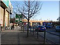
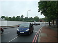
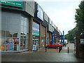
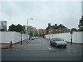
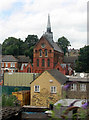
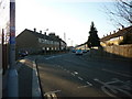
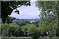
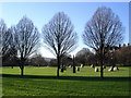
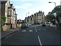
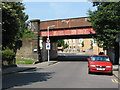
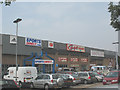
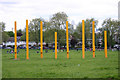
100 photos from this area
Area Information
Key information about the SE13 7AE including its size, population, and administrative classification.
- Area Type
- Postcode
- Area Size
- 1.0 hectares
- Population
- 1530
- Population Density
- 8615 people/km²
House Prices in SE13 7AE
54
Properties
£416,261
Average Sold Price
£67,000
Lowest Price
£855,000
Highest Price
Showing 54 properties
| Address | Type | Beds | Baths | Last Sale Price | Last Sale Date | |
|---|---|---|---|---|---|---|
| 91A Marsala Road, Ladywell, London, SE13 7AE | Flat | - | - | £426,500 | Mar 2024 | |
| 107 Marsala Road, Ladywell, London, SE13 7AE | Terraced | 3 | 1 | £633,000 | Mar 2024 | |
| 95 Marsala Road, Ladywell, London, SE13 7AE | Terraced | 3 | 1 | £525,000 | Aug 2023 | |
| 147 Marsala Road, Ladywell, London, SE13 7AE | Retail | 3 | 1 | £715,000 | Oct 2022 | |
| 111 Marsala Road, Ladywell, London, SE13 7AE | house | 3 | - | £783,000 | Mar 2022 | |
| 155 Marsala Road, Ladywell, London, SE13 7AE | Terraced | 3 | 1 | £504,000 | Jun 2021 | |
| 151 Marsala Road, Ladywell, London, SE13 7AE | Terraced | 3 | 1 | £855,000 | Jan 2021 | |
| 99 Marsala Road, Ladywell, London, SE13 7AE | house | - | - | £685,000 | Dec 2018 | |
| 127 Marsala Road, Ladywell, London, SE13 7AE | house | - | - | £800,000 | Jun 2016 | |
| 149 Marsala Road, Ladywell, London, SE13 7AE | house | - | - | £495,000 | Jan 2014 |
Page 1 of 6
Energy Efficiency in SE13 7AE
Amenities
Schools
| Rank | School | Type | Entry gender | Ages |
|---|
Explore more schools in this area
Go to Schools tabDemographics
Household Size
Family (3-5 people)
most common
Accommodation Type
Houses
most common
Tenure
68
majority
Ethnic Group
White
most common
Religion
N/A
most common
Household Composition
N/A
most common
Age
47
median
Adults (30-64 years)
most common
Household Deprivation
N/A
with no deprivation
NS-SEC
52
in Lower managerial occupations
Explore more demographic insights in this area
Go to Demographics tabPlanning
Planning Constraints
- Flood RiskPremium
- Ramsar Wetland SitesPremium
- Area of Outstanding Natural BeautyPremium
- Protected Nature ReservePremium
- Protected WoodlandPremium