Area Overview for SE13 5HA
Photos of SE13 5HA
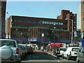

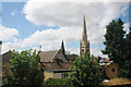
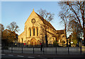
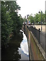
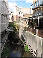
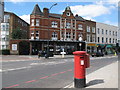

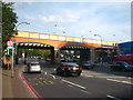
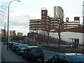
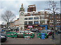
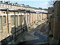
100 photos from this area
Area Information
Key information about the SE13 5HA including its size, population, and administrative classification.
- Area Type
- Postcode
- Area Size
- 9360 m²
- Population
- 2415
- Population Density
- 11175 people/km²
House Prices in SE13 5HA
38
Properties
£313,107
Average Sold Price
£72,000
Lowest Price
£916,150
Highest Price
Showing 38 properties
| Address | Type | Beds | Baths | Last Sale Price | Last Sale Date | |
|---|---|---|---|---|---|---|
| 60 College Park Close, London, SE13 5HA | house | 3 | 1 | £916,150 | Aug 2022 | |
| 46 College Park Close, London, SE13 5HA | house | - | - | £511,000 | Sep 2021 | |
| 38 College Park Close, London, SE13 5HA | Flat | 2 | 2 | £450,000 | Mar 2016 | |
| 48 College Park Close, London, SE13 5HA | Terraced | 3 | - | £482,500 | Sep 2015 | |
| 42 College Park Close, London, SE13 5HA | house | - | - | £213,000 | Apr 2004 | |
| 72 College Park Close, London, SE13 5HA | house | - | - | £247,000 | Jul 2003 | |
| 58 College Park Close, London, SE13 5HA | Detached | 6 | 3 | £249,000 | Jul 2002 | |
| 64 College Park Close, London, SE13 5HA | Semi-detached | - | - | £89,826 | Jul 2001 | |
| 40 College Park Close, London, SE13 5HA | Terraced | - | - | £93,700 | Jan 1999 | |
| 70 College Park Close, London, SE13 5HA | house | - | - | £120,000 | Jul 1998 |
Page 1 of 4
Energy Efficiency in SE13 5HA
Amenities
Schools
| Rank | School | Type | Entry gender | Ages |
|---|
Explore more schools in this area
Go to Schools tabDemographics
Household Size
Two person
most common
Accommodation Type
Flats
most common
Tenure
46
majority
Ethnic Group
White
most common
Religion
N/A
most common
Household Composition
N/A
most common
Age
47
median
Adults (30-64 years)
most common
Household Deprivation
N/A
with no deprivation
NS-SEC
44
in Lower managerial occupations
Explore more demographic insights in this area
Go to Demographics tabPlanning
Planning Constraints
- Flood RiskPremium
- Ramsar Wetland SitesPremium
- Area of Outstanding Natural BeautyPremium
- Protected Nature ReservePremium
- Protected WoodlandPremium