Area Overview for SE12 9PP
Photos of SE12 9PP
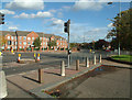
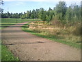
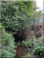
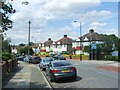
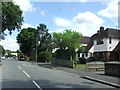
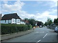
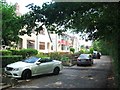
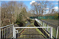
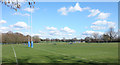
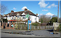
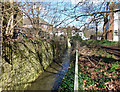
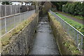
81 photos from this area
Area Information
Key information about the SE12 9PP including its size, population, and administrative classification.
- Area Type
- Postcode
- Area Size
- 14.7 hectares
- Population
- 1400
- Population Density
- 1206 people/km²
House Prices in SE12 9PP
20
Properties
£288,545
Average Sold Price
£91,500
Lowest Price
£590,000
Highest Price
Showing 20 properties
| Address | Type | Beds | Baths | Last Sale Price | Last Sale Date | |
|---|---|---|---|---|---|---|
| 131 Marvels Lane, Grove Park, London, SE12 9PP | Semi-detached | 3 | 1 | £590,000 | Mar 2025 | |
| 145 Marvels Lane, Grove Park, London, SE12 9PP | Semi-detached | 3 | 1 | £476,000 | Mar 2023 | |
| 127 Marvels Lane, Grove Park, London, SE12 9PP | Semi-detached | - | - | £250,000 | Jul 2017 | |
| 133 Marvels Lane, Grove Park, London, SE12 9PP | Semi-detached | 1 | 1 | £470,000 | Mar 2017 | |
| 143 Marvels Lane, Grove Park, London, SE12 9PP | Semi-detached | 3 | - | £295,000 | Nov 2013 | |
| 115 Marvels Lane, Grove Park, London, SE12 9PP | house | 3 | - | £250,000 | Aug 2013 | |
| 113 Marvels Lane, Grove Park, London, SE12 9PP | Semi-detached | 3 | 1 | £250,000 | Oct 2004 | |
| 135 Marvels Lane, Grove Park, London, SE12 9PP | Semi-detached | - | - | £257,000 | Jul 2003 | |
| 137 Marvels Lane, Grove Park, London, SE12 9PP | Semi-detached | 3 | 2 | £125,000 | Apr 1999 | |
| 141 Marvels Lane, Grove Park, London, SE12 9PP | Semi-detached | - | - | £119,500 | Oct 1998 |
Page 1 of 2
Energy Efficiency in SE12 9PP
Amenities
Schools
| Rank | School | Type | Entry gender | Ages |
|---|
Explore more schools in this area
Go to Schools tabDemographics
Household Size
Two person
most common
Accommodation Type
Houses
most common
Tenure
69
majority
Ethnic Group
White
most common
Religion
N/A
most common
Household Composition
N/A
most common
Age
47
median
Adults (30-64 years)
most common
Household Deprivation
N/A
with no deprivation
NS-SEC
44
in Lower managerial occupations
Explore more demographic insights in this area
Go to Demographics tabPlanning
Planning Constraints
- Flood RiskPremium
- Ramsar Wetland SitesPremium
- Area of Outstanding Natural BeautyPremium
- Protected Nature ReservePremium
- Protected WoodlandPremium