Area Overview for SE10 8SS
Photos of SE10 8SS
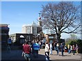
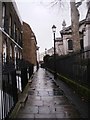
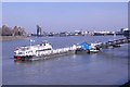
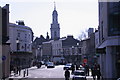
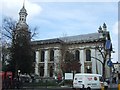
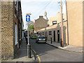
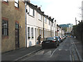
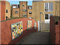
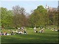
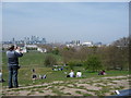
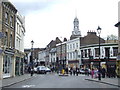
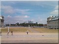
100 photos from this area
Area Information
Key information about the SE10 8SS including its size, population, and administrative classification.
- Area Type
- Postcode
- Area Size
- 3101 m²
- Population
- 1471
- Population Density
- 11583 people/km²
House Prices in SE10 8SS
27
Properties
£383,231
Average Sold Price
£92,500
Lowest Price
£783,000
Highest Price
Showing 27 properties
| Address | Type | Beds | Baths | Last Sale Price | Last Sale Date | |
|---|---|---|---|---|---|---|
| 109 Royal Hill, Greenwich, SE10 8SS | house | 1 | 1 | £500,000 | Mar 2022 | |
| 132 Royal Hill, Greenwich, SE10 8SS | Terraced | 1 | 1 | £430,000 | Feb 2019 | |
| 130 Royal Hill, Greenwich, SE10 8SS | house | - | - | £555,000 | Sep 2018 | |
| 113 Royal Hill, Greenwich, SE10 8SS | Terraced | 2 | 2 | £676,000 | May 2016 | |
| 115 Royal Hill, Greenwich, SE10 8SS | Terraced | 3 | - | £783,000 | Sep 2014 | |
| 119 Royal Hill, Greenwich, SE10 8SS | Terraced | 2 | 1 | £425,000 | Dec 2012 | |
| 111 Royal Hill, Greenwich, SE10 8SS | house | - | - | £425,000 | Nov 2011 | |
| 136 Royal Hill, Greenwich, SE10 8SS | Cottage | 1 | 1 | £230,000 | Mar 2011 | |
| 105 Royal Hill, Greenwich, SE10 8SS | Terraced | - | - | £313,500 | Nov 2005 | |
| 126 Royal Hill, Greenwich, SE10 8SS | house | 2 | 1 | £260,000 | Aug 2005 |
Page 1 of 3
Energy Efficiency in SE10 8SS
Amenities
Schools
| Rank | School | Type | Entry gender | Ages |
|---|
Explore more schools in this area
Go to Schools tabDemographics
Household Size
One person
most common
Accommodation Type
Houses
most common
Tenure
47
majority
Ethnic Group
White
most common
Religion
N/A
most common
Household Composition
N/A
most common
Age
47
median
Adults (30-64 years)
most common
Household Deprivation
N/A
with no deprivation
NS-SEC
54
in Lower managerial occupations
Explore more demographic insights in this area
Go to Demographics tabPlanning
Planning Constraints
- Flood RiskPremium
- Ramsar Wetland SitesPremium
- Area of Outstanding Natural BeautyPremium
- Protected Nature ReservePremium
- Protected WoodlandPremium