Area Overview for RM9 6TL
Photos of RM9 6TL
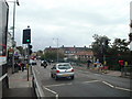
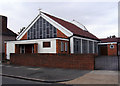
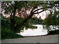
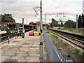
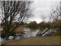
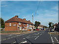
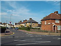
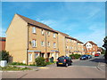
64 photos from this area
Area Information
Key information about the RM9 6TL including its size, population, and administrative classification.
- Area Type
- Postcode
- Area Size
- 4814 m²
- Population
- 1871
- Population Density
- 10929 people/km²
House Prices in RM9 6TL
25
Properties
£208,643
Average Sold Price
£97,000
Lowest Price
£380,000
Highest Price
Showing 25 properties
| Address | Type | Beds | Baths | Last Sale Price | Last Sale Date | |
|---|---|---|---|---|---|---|
| 12 Arden Crescent, Dagenham, RM9 6TL | Terraced | 3 | 1 | £380,000 | Mar 2025 | |
| 48 Arden Crescent, Dagenham, RM9 6TL | Terraced | 2 | 1 | £351,000 | Apr 2022 | |
| 22 Arden Crescent, Dagenham, RM9 6TL | Flat | - | - | £180,000 | Feb 2020 | |
| 4 Arden Crescent, Dagenham, RM9 6TL | Terraced | 2 | 1 | £273,000 | Aug 2018 | |
| 24 Arden Crescent, Dagenham, RM9 6TL | Flat | 1 | 1 | £192,000 | Nov 2017 | |
| 42 Arden Crescent, Dagenham, RM9 6TL | house | - | - | £260,000 | Mar 2017 | |
| 16 Arden Crescent, Dagenham, RM9 6TL | Terraced | 3 | - | £320,000 | Jun 2016 | |
| 18 Arden Crescent, Dagenham, RM9 6TL | Flat | - | - | £109,000 | Nov 2009 | |
| 38 Arden Crescent, Dagenham, RM9 6TL | Terraced | - | - | £185,000 | Nov 2007 | |
| 32 Arden Crescent, Dagenham, RM9 6TL | Maisonette | 1 | 1 | £130,000 | Oct 2007 |
Page 1 of 3
Energy Efficiency in RM9 6TL
Amenities
Schools
| Rank | School | Type | Entry gender | Ages |
|---|
Explore more schools in this area
Go to Schools tabDemographics
Household Size
Family (3-5 people)
most common
Accommodation Type
Houses
most common
Tenure
46
majority
Ethnic Group
White
most common
Religion
N/A
most common
Household Composition
N/A
most common
Age
47
median
Adults (30-64 years)
most common
Household Deprivation
N/A
with no deprivation
NS-SEC
21
in Lower managerial occupations
Explore more demographic insights in this area
Go to Demographics tabPlanning
Planning Constraints
- Flood RiskPremium
- Ramsar Wetland SitesPremium
- Area of Outstanding Natural BeautyPremium
- Protected Nature ReservePremium
- Protected WoodlandPremium