Area Overview for RM9 6ND
Photos of RM9 6ND
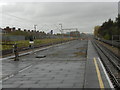
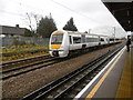
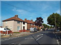
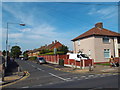

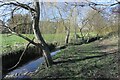
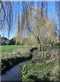
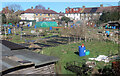
44 photos from this area
Area Information
Key information about the RM9 6ND including its size, population, and administrative classification.
- Area Type
- Postcode
- Area Size
- 7017 m²
- Population
- 1449
- Population Density
- 10343 people/km²
House Prices in RM9 6ND
34
Properties
£240,066
Average Sold Price
£49,000
Lowest Price
£410,000
Highest Price
Showing 34 properties
| Address | Type | Beds | Baths | Last Sale Price | Last Sale Date | |
|---|---|---|---|---|---|---|
| 168 Downing Road, Dagenham, RM9 6ND | Terraced | 3 | 1 | £410,000 | Mar 2025 | |
| 178 Downing Road, Dagenham, RM9 6ND | Terraced | 2 | 1 | £370,000 | Jun 2024 | |
| 162 Downing Road, Dagenham, RM9 6ND | house | - | - | £250,000 | Jan 2023 | |
| 158 Downing Road, Dagenham, RM9 6ND | Terraced | 2 | 1 | £375,000 | Nov 2022 | |
| 164 Downing Road, Dagenham, RM9 6ND | house | - | - | £355,000 | Jun 2021 | |
| 176 Downing Road, Dagenham, RM9 6ND | house | 1 | 1 | £334,000 | May 2021 | |
| 190 Downing Road, Dagenham, RM9 6ND | Terraced | 3 | 1 | £335,000 | Apr 2021 | |
| 128 Downing Road, Dagenham, RM9 6ND | house | - | - | £289,000 | Nov 2020 | |
| 144 Downing Road, Dagenham, RM9 6ND | Terraced | 2 | 1 | £220,000 | Jan 2017 | |
| 142 Downing Road, Dagenham, RM9 6ND | house | - | - | £275,000 | Mar 2016 |
Page 1 of 4
Energy Efficiency in RM9 6ND
Amenities
Schools
| Rank | School | Type | Entry gender | Ages |
|---|
Explore more schools in this area
Go to Schools tabDemographics
Household Size
Family (3-5 people)
most common
Accommodation Type
Houses
most common
Tenure
44
majority
Ethnic Group
White
most common
Religion
N/A
most common
Household Composition
N/A
most common
Age
47
median
Adults (30-64 years)
most common
Household Deprivation
N/A
with no deprivation
NS-SEC
20
in Lower managerial occupations
Explore more demographic insights in this area
Go to Demographics tabPlanning
Planning Constraints
- Flood RiskPremium
- Ramsar Wetland SitesPremium
- Area of Outstanding Natural BeautyPremium
- Protected Nature ReservePremium
- Protected WoodlandPremium