Area Overview for RM12 5EU
Photos of RM12 5EU
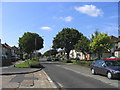
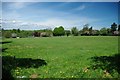
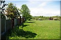
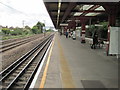
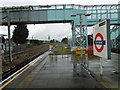
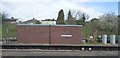
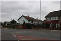
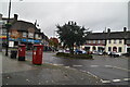
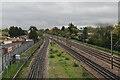
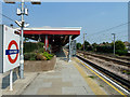
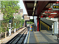
27 photos from this area
Area Information
Key information about the RM12 5EU including its size, population, and administrative classification.
- Area Type
- Postcode
- Area Size
- 9849 m²
- Population
- 1673
- Population Density
- 8262 people/km²
House Prices in RM12 5EU
30
Properties
£214,714
Average Sold Price
£47,000
Lowest Price
£446,500
Highest Price
Showing 30 properties
| Address | Type | Beds | Baths | Last Sale Price | Last Sale Date | |
|---|---|---|---|---|---|---|
| 91 Ambleside Avenue, Hornchurch, RM12 5EU | house | - | - | £446,500 | Mar 2023 | |
| 75 Ambleside Avenue, Hornchurch, RM12 5EU | Maisonette | 2 | 1 | £305,000 | Sep 2021 | |
| 111 Ambleside Avenue, Hornchurch, RM12 5EU | Maisonette | - | - | £285,000 | Aug 2021 | |
| 97 Ambleside Avenue, Hornchurch, RM12 5EU | Maisonette | 2 | 1 | £250,000 | Jun 2021 | |
| 109 Ambleside Avenue, Hornchurch, RM12 5EU | Maisonette | 2 | - | £288,500 | Apr 2021 | |
| 89 Ambleside Avenue, Hornchurch, RM12 5EU | Flat | - | - | £225,000 | Dec 2016 | |
| 85 Ambleside Avenue, Hornchurch, RM12 5EU | Flat | 2 | - | £175,000 | Nov 2013 | |
| 93 Ambleside Avenue, Hornchurch, RM12 5EU | Terraced | - | - | £183,000 | Apr 2009 | |
| 99 Ambleside Avenue, Hornchurch, RM12 5EU | Flat | - | - | £143,000 | Dec 2008 | |
| 57 Ambleside Avenue, Hornchurch, RM12 5EU | Terraced | - | - | £181,000 | May 2006 |
Page 1 of 3
Energy Efficiency in RM12 5EU
Amenities
Schools
| Rank | School | Type | Entry gender | Ages |
|---|
Explore more schools in this area
Go to Schools tabDemographics
Household Size
Family (3-5 people)
most common
Accommodation Type
Flats
most common
Tenure
44
majority
Ethnic Group
White
most common
Religion
N/A
most common
Household Composition
N/A
most common
Age
47
median
Adults (30-64 years)
most common
Household Deprivation
N/A
with no deprivation
NS-SEC
23
in Lower managerial occupations
Explore more demographic insights in this area
Go to Demographics tabPlanning
Planning Constraints
- Flood RiskPremium
- Ramsar Wetland SitesPremium
- Area of Outstanding Natural BeautyPremium
- Protected Nature ReservePremium
- Protected WoodlandPremium