Area Overview for RM11 1LS
Photos of RM11 1LS
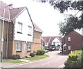
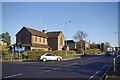
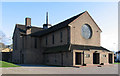
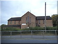
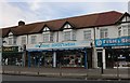
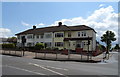
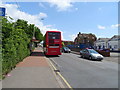
21 photos from this area
Area Information
Key information about the RM11 1LS including its size, population, and administrative classification.
- Area Type
- Postcode
- Area Size
- 1.1 hectares
- Population
- 1861
- Population Density
- 4927 people/km²
House Prices in RM11 1LS
32
Properties
£347,694
Average Sold Price
£60,000
Lowest Price
£565,000
Highest Price
Showing 32 properties
| Address | Type | Beds | Baths | Last Sale Price | Last Sale Date | |
|---|---|---|---|---|---|---|
| 38 Bush Elms Road, Hornchurch, RM11 1LS | Semi-detached | 3 | 1 | £493,000 | Sep 2024 | |
| 26 Bush Elms Road, Hornchurch, RM11 1LS | Semi-detached | 3 | 1 | £450,000 | Jan 2023 | |
| 18 Bush Elms Road, Hornchurch, RM11 1LS | Semi-detached | 5 | 2 | £445,000 | Jan 2023 | |
| 8 Bush Elms Road, Hornchurch, RM11 1LS | house | - | - | £565,000 | Sep 2021 | |
| 40 Bush Elms Road, Hornchurch, RM11 1LS | house | - | - | £475,000 | Jun 2021 | |
| 6 Bush Elms Road, Hornchurch, RM11 1LS | Semi-detached | 3 | 2 | £425,000 | Apr 2021 | |
| 34 Bush Elms Road, Hornchurch, RM11 1LS | house | - | - | £425,000 | Feb 2021 | |
| 28 Bush Elms Road, Hornchurch, RM11 1LS | Semi-detached | 4 | 2 | £470,000 | Feb 2020 | |
| 44 Bush Elms Road, Hornchurch, RM11 1LS | Semi-detached | 3 | 1 | £402,000 | Aug 2018 | |
| 16 Bush Elms Road, Hornchurch, RM11 1LS | house | 3 | - | £450,000 | Jul 2017 |
Page 1 of 4
Energy Efficiency in RM11 1LS
Amenities
Schools
| Rank | School | Type | Entry gender | Ages |
|---|
Explore more schools in this area
Go to Schools tabDemographics
Household Size
Family (3-5 people)
most common
Accommodation Type
Houses
most common
Tenure
68
majority
Ethnic Group
White
most common
Religion
N/A
most common
Household Composition
N/A
most common
Age
47
median
Adults (30-64 years)
most common
Household Deprivation
N/A
with no deprivation
NS-SEC
32
in Lower managerial occupations
Explore more demographic insights in this area
Go to Demographics tabPlanning
Planning Constraints
- Flood RiskPremium
- Ramsar Wetland SitesPremium
- Area of Outstanding Natural BeautyPremium
- Protected Nature ReservePremium
- Protected WoodlandPremium