Area Overview for NW6 7NS
Photos of NW6 7NS
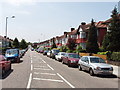
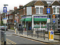
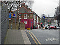
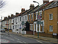
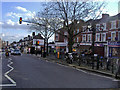
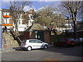
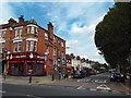
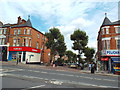
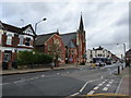
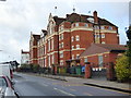
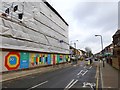
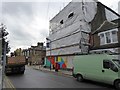
100 photos from this area
Area Information
Key information about the NW6 7NS including its size, population, and administrative classification.
- Area Type
- Postcode
- Area Size
- 1.0 hectares
- Population
- 2066
- Population Density
- 5555 people/km²
House Prices in NW6 7NS
23
Properties
£1,098,571
Average Sold Price
£280,000
Lowest Price
£2,440,000
Highest Price
Showing 23 properties
| Address | Type | Beds | Baths | Last Sale Price | Last Sale Date | |
|---|---|---|---|---|---|---|
| 69 The Avenue, London, NW6 7NS | Semi-detached | 4 | 4 | £1,700,000 | May 2017 | |
| 85 The Avenue, London, NW6 7NS | Semi-detached | 6 | 3 | £2,440,000 | Dec 2015 | |
| 55B The Avenue, London, NW6 7NS | Maisonette | 3 | 1 | £750,000 | Nov 2015 | |
| 59B The Avenue, London, NW6 7NS | Maisonette | 3 | 1 | £650,000 | Jul 2013 | |
| 79 The Avenue, London, NW6 7NS | Semi-detached | 5 | 3 | £1,200,000 | Sep 2007 | |
| 83 The Avenue, London, NW6 7NS | Semi-detached | 4 | 3 | £670,000 | Feb 2003 | |
| 61 The Avenue, London, NW6 7NS | Semi-detached | - | - | £280,000 | Dec 1997 | |
| 73 The Avenue, London, NW6 7NS | Semi-detached | 5 | - | - | - | |
| Former, 67 The Avenue, London, NW6 7NS | Semi-detached | - | - | - | - | |
| Flat 4, 67 The Avenue, London, NW6 7NS | Flat | - | - | - | - |
Page 1 of 3
Energy Efficiency in NW6 7NS
Amenities
Schools
| Rank | School | Type | Entry gender | Ages |
|---|
Explore more schools in this area
Go to Schools tabDemographics
Household Size
One person
most common
Accommodation Type
Flats
most common
Tenure
44
majority
Ethnic Group
White
most common
Religion
N/A
most common
Household Composition
N/A
most common
Age
47
median
Adults (30-64 years)
most common
Household Deprivation
N/A
with no deprivation
NS-SEC
43
in Lower managerial occupations
Explore more demographic insights in this area
Go to Demographics tabPlanning
Planning Constraints
- Flood RiskPremium
- Ramsar Wetland SitesPremium
- Area of Outstanding Natural BeautyPremium
- Protected Nature ReservePremium
- Protected WoodlandPremium