Area Overview for NW6 7PE
Photos of NW6 7PE
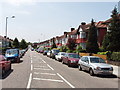
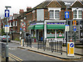
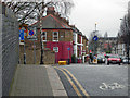
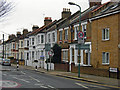
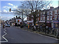
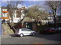
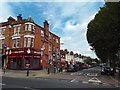
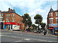
100 photos from this area
Area Information
Key information about the NW6 7PE including its size, population, and administrative classification.
- Area Type
- Postcode
- Area Size
- 2.1 hectares
- Population
- 2066
- Population Density
- 5555 people/km²
House Prices in NW6 7PE
22
Properties
£2,269,735
Average Sold Price
£350,000
Lowest Price
£4,000,000
Highest Price
Showing 22 properties
| Address | Type | Beds | Baths | Last Sale Price | Last Sale Date | |
|---|---|---|---|---|---|---|
| 70 Christchurch Avenue, London, NW6 7PE | house | 5 | 2 | £2,395,000 | Jun 2024 | |
| 98 Christchurch Avenue, London, NW6 7PE | Detached | 4 | 2 | £3,350,000 | Dec 2021 | |
| 86 Christchurch Avenue, London, NW6 7PE | house | - | - | £2,590,000 | Feb 2021 | |
| 102 Christchurch Avenue, London, NW6 7PE | Semi-detached | 6 | 4 | £4,000,000 | Sep 2017 | |
| 72 Christchurch Avenue, London, NW6 7PE | Detached | 4 | 3 | £2,500,000 | Dec 2016 | |
| 104 Christchurch Avenue, London, NW6 7PE | Detached | 6 | 2 | £3,400,000 | May 2015 | |
| 82 Christchurch Avenue, London, NW6 7PE | Semi-detached | 8 | 9 | £3,655,000 | Jan 2014 | |
| 84 Christchurch Avenue, London, NW6 7PE | house | 5 | - | £3,607,500 | Apr 2013 | |
| 74 Christchurch Avenue, London, NW6 7PE | house | - | - | £2,500,000 | May 2011 | |
| 94 Christchurch Avenue, London, NW6 7PE | Detached | 6 | 4 | £2,820,000 | Jun 2008 |
Page 1 of 3
Energy Efficiency in NW6 7PE
Amenities
Schools
| Rank | School | Type | Entry gender | Ages |
|---|
Explore more schools in this area
Go to Schools tabDemographics
Household Size
One person
most common
Accommodation Type
Flats
most common
Tenure
44
majority
Ethnic Group
White
most common
Religion
N/A
most common
Household Composition
N/A
most common
Age
47
median
Adults (30-64 years)
most common
Household Deprivation
N/A
with no deprivation
NS-SEC
43
in Lower managerial occupations
Explore more demographic insights in this area
Go to Demographics tabPlanning
Planning Constraints
- Flood RiskPremium
- Ramsar Wetland SitesPremium
- Area of Outstanding Natural BeautyPremium
- Protected Nature ReservePremium
- Protected WoodlandPremium