Area Overview for NW6 1QD
Photos of NW6 1QD
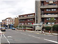
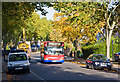
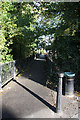
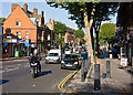


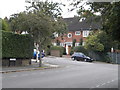
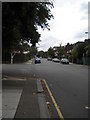
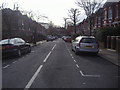
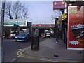
100 photos from this area
Area Information
Key information about the NW6 1QD including its size, population, and administrative classification.
- Area Type
- Postcode
- Area Size
- 1.3 hectares
- Population
- 1582
- Population Density
- 12967 people/km²
House Prices in NW6 1QD
79
Properties
£1,629,818
Average Sold Price
£260,000
Lowest Price
£2,900,000
Highest Price
Showing 79 properties
| Address | Type | Beds | Baths | Last Sale Price | Last Sale Date | |
|---|---|---|---|---|---|---|
| 7 Hillfield Road, London, NW6 1QD | Flat | 2 | 1 | £1,900,000 | Feb 2025 | |
| 37 Hillfield Road, London, NW6 1QD | Terraced | 4 | 3 | £2,850,000 | Jan 2025 | |
| 25 Hillfield Road, London, NW6 1QD | Terraced | 5 | 1 | £2,900,000 | Jan 2024 | |
| 21 Hillfield Road, London, NW6 1QD | house | - | - | £2,300,000 | Sep 2022 | |
| 47A Hillfield Road, London, NW6 1QD | Flat | 3 | 2 | £2,400,000 | Oct 2021 | |
| Flat A, 55 Hillfield Road, London, NW6 1QD | Flat | 1 | 1 | £385,000 | Jun 2021 | |
| 19 Hillfield Road, London, NW6 1QD | Terraced | 6 | 2 | £1,355,000 | Feb 2020 | |
| 3 Hillfield Road, London, NW6 1QD | Flat | 5 | 1 | £1,500,000 | Nov 2013 | |
| 57 Hillfield Road, London, NW6 1QD | Flat | 5 | - | £1,705,000 | Dec 2012 | |
| 51 Hillfield Road, London, NW6 1QD | Flat | - | - | £373,000 | Aug 1997 |
Page 1 of 8
Energy Efficiency in NW6 1QD
Amenities
Schools
| Rank | School | Type | Entry gender | Ages |
|---|
Explore more schools in this area
Go to Schools tabDemographics
Household Size
Two person
most common
Accommodation Type
Flats
most common
Tenure
50
majority
Ethnic Group
White
most common
Religion
N/A
most common
Household Composition
N/A
most common
Age
47
median
Adults (30-64 years)
most common
Household Deprivation
N/A
with no deprivation
NS-SEC
62
in Lower managerial occupations
Explore more demographic insights in this area
Go to Demographics tabPlanning
Planning Constraints
- Flood RiskPremium
- Ramsar Wetland SitesPremium
- Area of Outstanding Natural BeautyPremium
- Protected Nature ReservePremium
- Protected WoodlandPremium