Area Overview for NW2 6UT
Photos of NW2 6UT
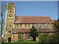
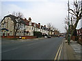
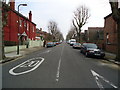
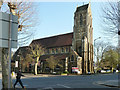
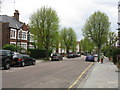
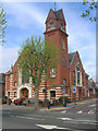
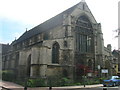
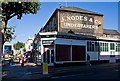
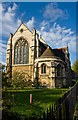
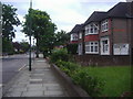
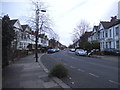
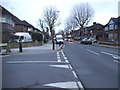
100 photos from this area
Area Information
Key information about the NW2 6UT including its size, population, and administrative classification.
- Area Type
- Postcode
- Area Size
- 4163 m²
- Population
- 1970
- Population Density
- 9091 people/km²
House Prices in NW2 6UT
25
Properties
£796,350
Average Sold Price
£96,000
Lowest Price
£1,275,000
Highest Price
Showing 25 properties
| Address | Type | Beds | Baths | Last Sale Price | Last Sale Date | |
|---|---|---|---|---|---|---|
| 123 Olive Road, London, NW2 6UT | Semi-detached | 4 | 2 | £1,275,000 | Jul 2022 | |
| 105A Olive Road, London, NW2 6UT | Flat | - | - | £410,000 | Apr 2021 | |
| 109 Olive Road, London, NW2 6UT | Terraced | 4 | 1 | £1,085,000 | Dec 2020 | |
| 127 Olive Road, London, NW2 6UT | Semi-detached | 4 | 2 | £957,500 | Mar 2019 | |
| 107 Olive Road, London, NW2 6UT | Semi-detached | 4 | 2 | £1,140,000 | Aug 2018 | |
| 125 Olive Road, London, NW2 6UT | Semi-detached | 4 | 2 | £930,000 | Mar 2018 | |
| 121 Olive Road, London, NW2 6UT | Semi-detached | 4 | - | £995,000 | Mar 2016 | |
| 115 Olive Road, London, NW2 6UT | Terraced | 3 | 1 | £960,000 | Feb 2016 | |
| 111 Olive Road, London, NW2 6UT | Unknown | - | - | £96,000 | Apr 1998 | |
| 129 Olive Road, London, NW2 6UT | Semi-detached | 4 | 2 | £115,000 | Jan 1997 |
Page 1 of 3
Energy Efficiency in NW2 6UT
Amenities
Schools
| Rank | School | Type | Entry gender | Ages |
|---|
Explore more schools in this area
Go to Schools tabDemographics
Household Size
Family (3-5 people)
most common
Accommodation Type
Flats
most common
Tenure
44
majority
Ethnic Group
White
most common
Religion
N/A
most common
Household Composition
N/A
most common
Age
47
median
Adults (30-64 years)
most common
Household Deprivation
N/A
with no deprivation
NS-SEC
33
in Lower managerial occupations
Explore more demographic insights in this area
Go to Demographics tabPlanning
Planning Constraints
- Flood RiskPremium
- Ramsar Wetland SitesPremium
- Area of Outstanding Natural BeautyPremium
- Protected Nature ReservePremium
- Protected WoodlandPremium