Area Overview for NW2 6AT
Photos of NW2 6AT
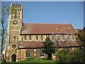
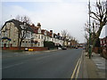
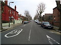
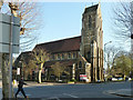
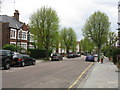
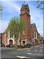
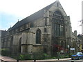
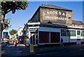
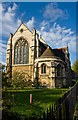
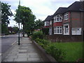
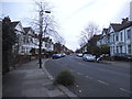
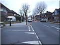
100 photos from this area
Area Information
Key information about the NW2 6AT including its size, population, and administrative classification.
- Area Type
- Postcode
- Area Size
- 8644 m²
- Population
- 1586
- Population Density
- 7666 people/km²
House Prices in NW2 6AT
17
Properties
£731,395
Average Sold Price
£72,000
Lowest Price
£1,600,000
Highest Price
Showing 17 properties
| Address | Type | Beds | Baths | Last Sale Price | Last Sale Date | |
|---|---|---|---|---|---|---|
| 16 Dicey Avenue, London, NW2 6AT | house | 5 | 5 | £1,600,000 | Aug 2021 | |
| 22 Dicey Avenue, London, NW2 6AT | Semi-detached | 4 | 3 | £1,499,950 | Jan 2017 | |
| 8 Dicey Avenue, London, NW2 6AT | Semi-detached | 3 | 3 | £1,312,000 | Jul 2015 | |
| 28 Dicey Avenue, London, NW2 6AT | Detached | 4 | 1 | £810,000 | Feb 2014 | |
| 12 Dicey Avenue, London, NW2 6AT | Semi-detached | 5 | 3 | £999,999 | Dec 2013 | |
| 2 Dicey Avenue, London, NW2 6AT | Semi-detached | 5 | 3 | £230,000 | Sep 2006 | |
| 6 Dicey Avenue, London, NW2 6AT | Semi-detached | 6 | 3 | £338,000 | Feb 1999 | |
| 4 Dicey Avenue, London, NW2 6AT | Semi-detached | 6 | 3 | £290,000 | Aug 1997 | |
| 18 Dicey Avenue, London, NW2 6AT | Detached | 5 | 3 | £72,000 | Jul 1997 | |
| 20 Dicey Avenue, London, NW2 6AT | Semi-detached | - | - | £162,000 | Jun 1996 |
Page 1 of 2
Energy Efficiency in NW2 6AT
Amenities
Schools
| Rank | School | Type | Entry gender | Ages |
|---|
Explore more schools in this area
Go to Schools tabDemographics
Household Size
Family (3-5 people)
most common
Accommodation Type
Houses
most common
Tenure
53
majority
Ethnic Group
White
most common
Religion
N/A
most common
Household Composition
N/A
most common
Age
47
median
Adults (30-64 years)
most common
Household Deprivation
N/A
with no deprivation
NS-SEC
37
in Lower managerial occupations
Explore more demographic insights in this area
Go to Demographics tabPlanning
Planning Constraints
- Flood RiskPremium
- Ramsar Wetland SitesPremium
- Area of Outstanding Natural BeautyPremium
- Protected Nature ReservePremium
- Protected WoodlandPremium