Area Overview for NW2 1UN
Photos of NW2 1UN
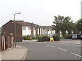
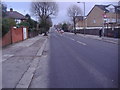
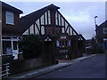
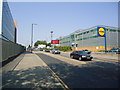

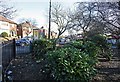
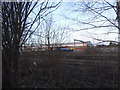
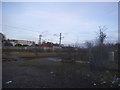
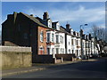
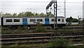

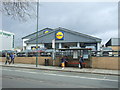
100 photos from this area
Area Information
Key information about the NW2 1UN including its size, population, and administrative classification.
- Area Type
- Postcode
- Area Size
- 6329 m²
- Population
- 2237
- Population Density
- 11208 people/km²
House Prices in NW2 1UN
78
Properties
£178,762
Average Sold Price
£87,000
Lowest Price
£342,000
Highest Price
Showing 78 properties
| Address | Type | Beds | Baths | Last Sale Price | Last Sale Date | |
|---|---|---|---|---|---|---|
| 49 Draycott Close, Cricklewood, London, NW2 1UN | Flat | - | - | £246,000 | Dec 2024 | |
| 66 Draycott Close, Cricklewood, London, NW2 1UN | Flat | 2 | 1 | £330,000 | May 2024 | |
| 67 Draycott Close, Cricklewood, London, NW2 1UN | Flat | - | - | £242,000 | Jun 2023 | |
| 14 Draycott Close, Cricklewood, London, NW2 1UN | Flat | 1 | 1 | £305,000 | Jun 2021 | |
| 40 Draycott Close, Cricklewood, London, NW2 1UN | Flat | - | - | £320,000 | Mar 2021 | |
| 62 Draycott Close, Cricklewood, London, NW2 1UN | Flat | - | - | £277,500 | Nov 2020 | |
| 36 Draycott Close, Cricklewood, London, NW2 1UN | Flat | - | - | £235,000 | May 2019 | |
| 59 Draycott Close, Cricklewood, London, NW2 1UN | Flat | - | - | £342,000 | Feb 2019 | |
| 31 Draycott Close, Cricklewood, London, NW2 1UN | Flat | - | - | £315,000 | Dec 2018 | |
| 52 Draycott Close, Cricklewood, London, NW2 1UN | Flat | 1 | 1 | £290,000 | Sep 2018 |
Page 1 of 8
Energy Efficiency in NW2 1UN
Amenities
Schools
| Rank | School | Type | Entry gender | Ages |
|---|
Explore more schools in this area
Go to Schools tabDemographics
Household Size
Family (3-5 people)
most common
Accommodation Type
Flats
most common
Tenure
37
majority
Ethnic Group
White
most common
Religion
N/A
most common
Household Composition
N/A
most common
Age
47
median
Adults (30-64 years)
most common
Household Deprivation
N/A
with no deprivation
NS-SEC
34
in Lower managerial occupations
Explore more demographic insights in this area
Go to Demographics tabPlanning
Planning Constraints
- Flood RiskPremium
- Ramsar Wetland SitesPremium
- Area of Outstanding Natural BeautyPremium
- Protected Nature ReservePremium
- Protected WoodlandPremium