Area Overview for NW1 1LQ
Photos of NW1 1LQ
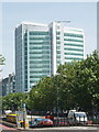


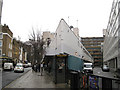
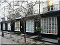
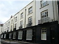
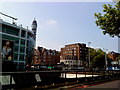
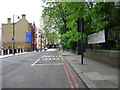
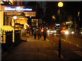
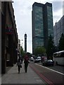
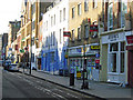
100 photos from this area
Area Information
Key information about the NW1 1LQ including its size, population, and administrative classification.
- Area Type
- Postcode
- Area Size
- 4154 m²
- Population
- 1348
- Population Density
- 21080 people/km²
House Prices in NW1 1LQ
40
Properties
£303,998
Average Sold Price
£69,000
Lowest Price
£550,000
Highest Price
Showing 40 properties
| Address | Type | Beds | Baths | Last Sale Price | Last Sale Date | |
|---|---|---|---|---|---|---|
| 21 Doric Way, London, NW1 1LQ | Flat | 2 | 1 | £550,000 | Mar 2019 | |
| 1 Doric Way, London, NW1 1LQ | Flat | - | - | £374,480 | Jan 2018 | |
| 63 Doric Way, London, NW1 1LQ | Flat | 2 | 1 | £350,000 | Jul 2012 | |
| 29 Doric Way, London, NW1 1LQ | Flat | 2 | 1 | £373,000 | Jul 2012 | |
| 73 Doric Way, London, NW1 1LQ | Flat | 2 | 1 | £317,500 | Aug 2011 | |
| 75 Doric Way, London, NW1 1LQ | Maisonette | 2 | 1 | £355,000 | Sep 2009 | |
| 31 Doric Way, London, NW1 1LQ | Flat | 2 | - | £330,000 | Aug 2008 | |
| 25 Doric Way, London, NW1 1LQ | Maisonette | 3 | 1 | £250,000 | Aug 2004 | |
| 35 Doric Way, London, NW1 1LQ | Maisonette | - | - | £71,000 | Jul 1998 | |
| 57 Doric Way, London, NW1 1LQ | Flat | 2 | 1 | £69,000 | Nov 1995 |
Page 1 of 4
Energy Efficiency in NW1 1LQ
Amenities
Schools
| Rank | School | Type | Entry gender | Ages |
|---|
Explore more schools in this area
Go to Schools tabDemographics
Household Size
One person
most common
Accommodation Type
Flats
most common
Tenure
5
majority
Ethnic Group
White
most common
Religion
N/A
most common
Household Composition
N/A
most common
Age
47
median
Adults (30-64 years)
most common
Household Deprivation
N/A
with no deprivation
NS-SEC
21
in Lower managerial occupations
Explore more demographic insights in this area
Go to Demographics tabPlanning
Planning Constraints
- Flood RiskPremium
- Ramsar Wetland SitesPremium
- Area of Outstanding Natural BeautyPremium
- Protected Nature ReservePremium
- Protected WoodlandPremium