Area Overview for N9 7PL
Photos of N9 7PL
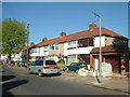
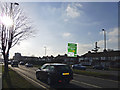
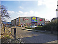
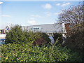
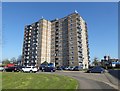
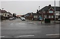
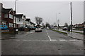
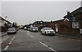
33 photos from this area
Area Information
Key information about the N9 7PL including its size, population, and administrative classification.
- Area Type
- Postcode
- Area Size
- 1.5 hectares
- Population
- 1658
- Population Density
- 5219 people/km²
House Prices in N9 7PL
62
Properties
£249,284
Average Sold Price
£63,500
Lowest Price
£425,000
Highest Price
Showing 62 properties
| Address | Type | Beds | Baths | Last Sale Price | Last Sale Date | |
|---|---|---|---|---|---|---|
| 217 St Edmunds Road, Edmonton, N9 7PL | house | 2 | - | £370,000 | Dec 2025 | |
| 161 St Edmunds Road, Edmonton, N9 7PL | Terraced | 2 | 1 | £330,000 | Mar 2025 | |
| 267 St Edmunds Road, Edmonton, N9 7PL | Flat | 3 | 1 | £287,000 | Mar 2025 | |
| 251 St Edmunds Road, Edmonton, N9 7PL | Terraced | 2 | - | £396,000 | Dec 2024 | |
| 213 St Edmunds Road, Edmonton, N9 7PL | house | - | - | £425,000 | Aug 2023 | |
| 257 St Edmunds Road, Edmonton, N9 7PL | Flat | - | - | £306,500 | Dec 2021 | |
| 215 St Edmunds Road, Edmonton, N9 7PL | Terraced | 3 | 1 | £295,000 | May 2020 | |
| 209 St Edmunds Road, Edmonton, N9 7PL | Terraced | 2 | 1 | £350,000 | Apr 2020 | |
| 219 St Edmunds Road, Edmonton, N9 7PL | Terraced | 2 | 1 | £357,000 | Feb 2020 | |
| 151 St Edmunds Road, Edmonton, N9 7PL | Terraced | 3 | 1 | £340,000 | Feb 2019 |
Page 1 of 7
Energy Efficiency in N9 7PL
Amenities
Schools
| Rank | School | Type | Entry gender | Ages |
|---|
Explore more schools in this area
Go to Schools tabDemographics
Household Size
Family (3-5 people)
most common
Accommodation Type
Houses
most common
Tenure
63
majority
Ethnic Group
White
most common
Religion
N/A
most common
Household Composition
N/A
most common
Age
47
median
Adults (30-64 years)
most common
Household Deprivation
N/A
with no deprivation
NS-SEC
25
in Lower managerial occupations
Explore more demographic insights in this area
Go to Demographics tabPlanning
Planning Constraints
- Flood RiskPremium
- Ramsar Wetland SitesPremium
- Area of Outstanding Natural BeautyPremium
- Protected Nature ReservePremium
- Protected WoodlandPremium