Area Overview for N21 3AX
Photos of N21 3AX
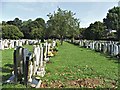
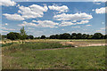
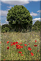
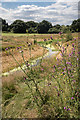
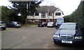
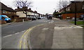
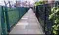
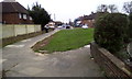
45 photos from this area
Area Information
Key information about the N21 3AX including its size, population, and administrative classification.
- Area Type
- Postcode
- Area Size
- 9535 m²
- Population
- 1477
- Population Density
- 9106 people/km²
House Prices in N21 3AX
27
Properties
£393,414
Average Sold Price
£96,000
Lowest Price
£715,000
Highest Price
Showing 27 properties
| Address | Type | Beds | Baths | Last Sale Price | Last Sale Date | |
|---|---|---|---|---|---|---|
| 162 Barrowell Green, Southgate, N21 3AX | Terraced | 4 | 2 | £715,000 | Jan 2023 | |
| 136 Barrowell Green, Southgate, N21 3AX | Semi-detached | 3 | 2 | £520,000 | Sep 2020 | |
| 124 Barrowell Green, Southgate, N21 3AX | Terraced | 3 | 1 | £526,500 | Nov 2019 | |
| 150 Barrowell Green, Southgate, N21 3AX | Terraced | 3 | 1 | £510,000 | May 2019 | |
| 140 Barrowell Green, Southgate, N21 3AX | Terraced | 3 | 1 | £520,000 | Jun 2018 | |
| 132 Barrowell Green, Southgate, N21 3AX | Terraced | 1 | 1 | £500,000 | Jul 2016 | |
| 130 Barrowell Green, Southgate, N21 3AX | Terraced | 3 | 1 | £480,000 | Oct 2015 | |
| 126 Barrowell Green, Southgate, N21 3AX | Terraced | 4 | 2 | £415,000 | Apr 2014 | |
| 148 Barrowell Green, Southgate, N21 3AX | house | 4 | 2 | £355,000 | Nov 2012 | |
| 156 Barrowell Green, Southgate, N21 3AX | house | 3 | - | £335,000 | Jan 2012 |
Page 1 of 3
Energy Efficiency in N21 3AX
Amenities
Schools
| Rank | School | Type | Entry gender | Ages |
|---|
Explore more schools in this area
Go to Schools tabDemographics
Household Size
Family (3-5 people)
most common
Accommodation Type
Houses
most common
Tenure
80
majority
Ethnic Group
White
most common
Religion
N/A
most common
Household Composition
N/A
most common
Age
47
median
Adults (30-64 years)
most common
Household Deprivation
N/A
with no deprivation
NS-SEC
32
in Lower managerial occupations
Explore more demographic insights in this area
Go to Demographics tabPlanning
Planning Constraints
- Flood RiskPremium
- Ramsar Wetland SitesPremium
- Area of Outstanding Natural BeautyPremium
- Protected Nature ReservePremium
- Protected WoodlandPremium