Area Overview for N21 2LA
Photos of N21 2LA
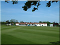
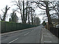
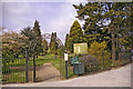
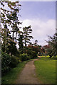
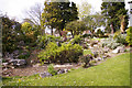
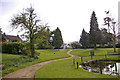
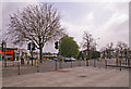
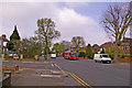
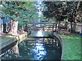
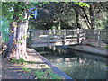
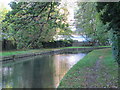
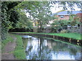
100 photos from this area
Area Information
Key information about the N21 2LA including its size, population, and administrative classification.
- Area Type
- Postcode
- Area Size
- 7877 m²
- Population
- 1373
- Population Density
- 2150 people/km²
House Prices in N21 2LA
12
Properties
£692,143
Average Sold Price
£360,000
Lowest Price
£960,000
Highest Price
Showing 12 properties
| Address | Type | Beds | Baths | Last Sale Price | Last Sale Date | |
|---|---|---|---|---|---|---|
| 7 Green Dragon Lane, Southgate, N21 2LA | Detached | 4 | - | £960,000 | Aug 2019 | |
| 5 Green Dragon Lane, Southgate, N21 2LA | Semi-detached | 5 | 2 | £750,000 | Mar 2016 | |
| 3 Green Dragon Lane, Southgate, N21 2LA | Semi-detached | 4 | 2 | £775,000 | Dec 2015 | |
| 13 Green Dragon Lane, Southgate, N21 2LA | house | - | - | £625,000 | Jul 2012 | |
| 1 Green Dragon Lane, Southgate, N21 2LA | house | - | - | £755,000 | Jul 2011 | |
| 15 Green Dragon Lane, Southgate, N21 2LA | Flat | 2 | 2 | £620,000 | Jul 2003 | |
| 9 Green Dragon Lane, Southgate, N21 2LA | Semi-detached | - | - | £360,000 | Aug 2002 | |
| 7-7-A Green Dragon Lane, Southgate, N21 2LA | Flat | - | - | - | - | |
| 11 Green Dragon Lane, Southgate, N21 2LA | Semi-detached | - | - | - | - | |
| 19 Green Dragon Lane, Southgate, N21 2LA | Detached | - | - | - | - |
Page 1 of 2
Energy Efficiency in N21 2LA
Amenities
Schools
| Rank | School | Type | Entry gender | Ages |
|---|
Explore more schools in this area
Go to Schools tabDemographics
Household Size
Family (3-5 people)
most common
Accommodation Type
Houses
most common
Tenure
85
majority
Ethnic Group
White
most common
Religion
N/A
most common
Household Composition
N/A
most common
Age
47
median
Adults (30-64 years)
most common
Household Deprivation
N/A
with no deprivation
NS-SEC
46
in Lower managerial occupations
Explore more demographic insights in this area
Go to Demographics tabPlanning
Planning Constraints
- Flood RiskPremium
- Ramsar Wetland SitesPremium
- Area of Outstanding Natural BeautyPremium
- Protected Nature ReservePremium
- Protected WoodlandPremium