Area Overview for N20 8DX
Photos of N20 8DX
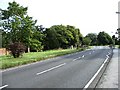

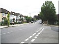
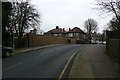

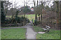


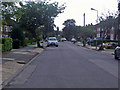

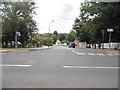
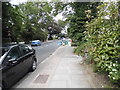
64 photos from this area
Area Information
Key information about the N20 8DX including its size, population, and administrative classification.
- Area Type
- Postcode
- Area Size
- 1.5 hectares
- Population
- 1337
- Population Density
- 1316 people/km²
House Prices in N20 8DX
17
Properties
£903,333
Average Sold Price
£415,000
Lowest Price
£1,500,000
Highest Price
Showing 17 properties
| Address | Type | Beds | Baths | Last Sale Price | Last Sale Date | |
|---|---|---|---|---|---|---|
| Grenofen, 81 Totteridge Lane, Whetstone, London, N20 8DX | Detached | 3 | 2 | £1,020,000 | Feb 2025 | |
| Little Orchard, 93 Totteridge Lane, Whetstone, London, N20 8DX | Bungalow | 3 | 2 | £1,500,000 | Jun 2024 | |
| Shirley, 79 Totteridge Lane, Whetstone, London, N20 8DX | Detached | 4 | 2 | £1,100,000 | May 2024 | |
| Westbury, 75 Totteridge Lane, Whetstone, London, N20 8DX | house | - | - | £890,000 | Sep 2020 | |
| Freelands, 95 Totteridge Lane, Whetstone, London, N20 8DX | Bungalow | 2 | 2 | £495,000 | Jul 2000 | |
| Eskdale, 99 Totteridge Lane, Whetstone, London, N20 8DX | house | 8 | - | £415,000 | Nov 1997 | |
| Flat 1, 77 Totteridge Lane, Whetstone, London, N20 8DX | Flat | 2 | 2 | - | - | |
| Flat 4, 77 Totteridge Lane, Whetstone, London, N20 8DX | Flat | 2 | 2 | - | - | |
| Barlodian House, 105 Totteridge Lane, Whetstone, London, N20 8DX | Detached | 5 | 3 | - | - | |
| Abbotsmeade, 107 Totteridge Lane, Whetstone, London, N20 8DX | Detached | 4 | 2 | - | - |
Page 1 of 2
Energy Efficiency in N20 8DX
Amenities
Schools
| Rank | School | Type | Entry gender | Ages |
|---|
Explore more schools in this area
Go to Schools tabDemographics
Household Size
Family (3-5 people)
most common
Accommodation Type
Houses
most common
Tenure
87
majority
Ethnic Group
White
most common
Religion
N/A
most common
Household Composition
N/A
most common
Age
47
median
Adults (30-64 years)
most common
Household Deprivation
N/A
with no deprivation
NS-SEC
55
in Lower managerial occupations
Explore more demographic insights in this area
Go to Demographics tabPlanning
Planning Constraints
- Flood RiskPremium
- Ramsar Wetland SitesPremium
- Area of Outstanding Natural BeautyPremium
- Protected Nature ReservePremium
- Protected WoodlandPremium