Area Overview for N19 5TS
Photos of N19 5TS

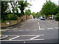
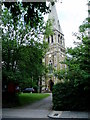
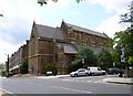
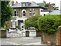
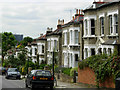
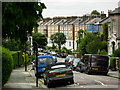
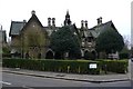
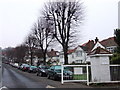
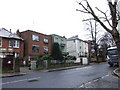
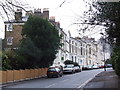
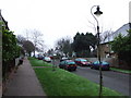
100 photos from this area
Area Information
Key information about the N19 5TS including its size, population, and administrative classification.
- Area Type
- Postcode
- Area Size
- 1.1 hectares
- Population
- 1483
- Population Density
- 13834 people/km²
House Prices in N19 5TS
40
Properties
£316,439
Average Sold Price
£165,000
Lowest Price
£450,000
Highest Price
Showing 40 properties
| Address | Type | Beds | Baths | Last Sale Price | Last Sale Date | |
|---|---|---|---|---|---|---|
| 85 Lulot Gardens, London, N19 5TS | Flat | 1 | 1 | £400,000 | Aug 2025 | |
| 67 Lulot Gardens, London, N19 5TS | Flat | - | - | £450,000 | Jun 2024 | |
| 80 Lulot Gardens, London, N19 5TS | Flat | - | - | £422,000 | Nov 2022 | |
| 96 Lulot Gardens, London, N19 5TS | Flat | 1 | 1 | £396,000 | Mar 2019 | |
| 97 Lulot Gardens, London, N19 5TS | Flat | - | - | £425,000 | Dec 2018 | |
| 79 Lulot Gardens, London, N19 5TS | Flat | - | - | £417,500 | Jan 2016 | |
| 89 Lulot Gardens, London, N19 5TS | Flat | - | - | £340,000 | Mar 2015 | |
| 68 Lulot Gardens, London, N19 5TS | Flat | - | - | £243,500 | Sep 2010 | |
| 73 Lulot Gardens, London, N19 5TS | Flat | - | - | £193,270 | May 2008 | |
| 65 Lulot Gardens, London, N19 5TS | Flat | - | - | £165,000 | Oct 2005 |
Page 1 of 4
Energy Efficiency in N19 5TS
Amenities
Schools
| Rank | School | Type | Entry gender | Ages |
|---|
Explore more schools in this area
Go to Schools tabDemographics
Household Size
Family (3-5 people)
most common
Accommodation Type
Flats
most common
Tenure
30
majority
Ethnic Group
White
most common
Religion
N/A
most common
Household Composition
N/A
most common
Age
47
median
Adults (30-64 years)
most common
Household Deprivation
N/A
with no deprivation
NS-SEC
40
in Lower managerial occupations
Explore more demographic insights in this area
Go to Demographics tabPlanning
Planning Constraints
- Flood RiskPremium
- Ramsar Wetland SitesPremium
- Area of Outstanding Natural BeautyPremium
- Protected Nature ReservePremium
- Protected WoodlandPremium