Area Overview for N19 3TW
Photos of N19 3TW
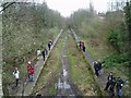
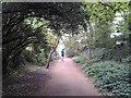
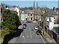
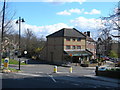
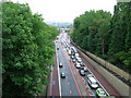
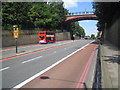
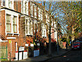
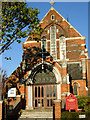
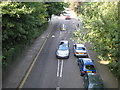
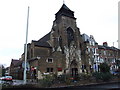
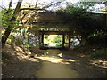
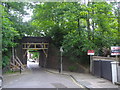
100 photos from this area
Area Information
Key information about the N19 3TW including its size, population, and administrative classification.
- Area Type
- Postcode
- Area Size
- 7521 m²
- Population
- 1549
- Population Density
- 12583 people/km²
House Prices in N19 3TW
26
Properties
£1,077,023
Average Sold Price
£321,000
Lowest Price
£2,260,000
Highest Price
Showing 26 properties
| Address | Type | Beds | Baths | Last Sale Price | Last Sale Date | |
|---|---|---|---|---|---|---|
| 53 Whitehall Park, London, N19 3TW | house | - | - | £2,260,000 | Mar 2021 | |
| 55 Whitehall Park, London, N19 3TW | Terraced | 5 | 2 | £1,925,000 | Aug 2017 | |
| 39 Whitehall Park, London, N19 3TW | Terraced | 5 | 3 | £1,905,000 | Jul 2014 | |
| 63 Whitehall Park, London, N19 3TW | house | - | - | £1,200,000 | Oct 2011 | |
| 51 Whitehall Park, London, N19 3TW | house | 6 | 3 | £1,250,000 | Sep 2007 | |
| 41 Whitehall Park, London, N19 3TW | Flat | 1 | 1 | £891,250 | Apr 2006 | |
| 49 Whitehall Park, London, N19 3TW | Terraced | - | - | £720,000 | Jan 2001 | |
| 57 Whitehall Park, London, N19 3TW | Terraced | 5 | 3 | £530,000 | May 1999 | |
| 45 Whitehall Park, London, N19 3TW | Terraced | - | - | £460,000 | Apr 1998 | |
| 65 Whitehall Park, London, N19 3TW | Terraced | 5 | 2 | £385,000 | Jun 1997 |
Page 1 of 3
Energy Efficiency in N19 3TW
Amenities
Schools
| Rank | School | Type | Entry gender | Ages |
|---|
Explore more schools in this area
Go to Schools tabDemographics
Household Size
Family (3-5 people)
most common
Accommodation Type
Flats
most common
Tenure
47
majority
Ethnic Group
White
most common
Religion
N/A
most common
Household Composition
N/A
most common
Age
47
median
Adults (30-64 years)
most common
Household Deprivation
N/A
with no deprivation
NS-SEC
50
in Lower managerial occupations
Explore more demographic insights in this area
Go to Demographics tabPlanning
Planning Constraints
- Flood RiskPremium
- Ramsar Wetland SitesPremium
- Area of Outstanding Natural BeautyPremium
- Protected Nature ReservePremium
- Protected WoodlandPremium