Area Overview for N19 3JZ
Photos of N19 3JZ

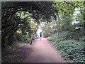
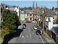
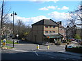
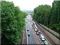
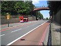
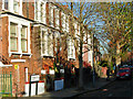
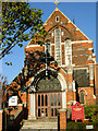
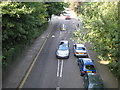
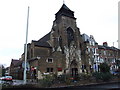
100 photos from this area
Area Information
Key information about the N19 3JZ including its size, population, and administrative classification.
- Area Type
- Postcode
- Area Size
- 3840 m²
- Population
- 1449
- Population Density
- 15923 people/km²
House Prices in N19 3JZ
23
Properties
£762,615
Average Sold Price
£205,000
Lowest Price
£1,460,000
Highest Price
Showing 23 properties
| Address | Type | Beds | Baths | Last Sale Price | Last Sale Date | |
|---|---|---|---|---|---|---|
| 6 Gresley Road, London, N19 3JZ | Terraced | 4 | 1 | £1,300,000 | Oct 2023 | |
| 4 Gresley Road, London, N19 3JZ | house | 4 | - | £1,300,000 | Feb 2020 | |
| 34 Gresley Road, London, N19 3JZ | Terraced | 4 | 1 | £1,460,000 | May 2015 | |
| 22 Gresley Road, London, N19 3JZ | house | 3 | - | £795,000 | Nov 2011 | |
| 2 Gresley Road, London, N19 3JZ | Detached | 5 | 3 | £1,025,000 | Apr 2011 | |
| 20 Gresley Road, London, N19 3JZ | house | 3 | - | £706,500 | Aug 2010 | |
| 26 Gresley Road, London, N19 3JZ | Terraced | 4 | - | £700,000 | Feb 2010 | |
| 12 Gresley Road, London, N19 3JZ | Terraced | 3 | - | £777,500 | Jul 2007 | |
| 28 Gresley Road, London, N19 3JZ | Detached | 4 | 2 | £457,500 | Oct 2005 | |
| 14 Gresley Road, London, N19 3JZ | house | - | - | £499,999 | Dec 2002 |
Page 1 of 3
Energy Efficiency in N19 3JZ
Amenities
Schools
| Rank | School | Type | Entry gender | Ages |
|---|
Explore more schools in this area
Go to Schools tabDemographics
Household Size
Family (3-5 people)
most common
Accommodation Type
Flats
most common
Tenure
40
majority
Ethnic Group
White
most common
Religion
N/A
most common
Household Composition
N/A
most common
Age
47
median
Adults (30-64 years)
most common
Household Deprivation
N/A
with no deprivation
NS-SEC
44
in Lower managerial occupations
Explore more demographic insights in this area
Go to Demographics tabPlanning
Planning Constraints
- Flood RiskPremium
- Ramsar Wetland SitesPremium
- Area of Outstanding Natural BeautyPremium
- Protected Nature ReservePremium
- Protected WoodlandPremium