Area Overview for N17 8BA
Photos of N17 8BA

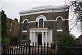
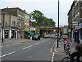
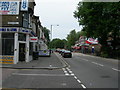
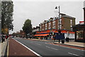
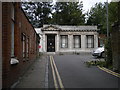
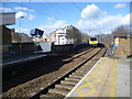
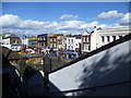
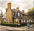
100 photos from this area
Area Information
Key information about the N17 8BA including its size, population, and administrative classification.
- Area Type
- Postcode
- Area Size
- 2958 m²
- Population
- 1795
- Population Density
- 12932 people/km²
House Prices in N17 8BA
58
Properties
£184,371
Average Sold Price
£49,500
Lowest Price
£321,000
Highest Price
Showing 58 properties
| Address | Type | Beds | Baths | Last Sale Price | Last Sale Date | |
|---|---|---|---|---|---|---|
| 58 Gascoigne Close, Tottenham, London, N17 8BA | Flat | - | - | £275,000 | Mar 2025 | |
| 29 Gascoigne Close, Tottenham, London, N17 8BA | Flat | - | - | £142,000 | Jul 2024 | |
| 3 Gascoigne Close, Tottenham, London, N17 8BA | Flat | 2 | 1 | £237,500 | Apr 2024 | |
| 19 Gascoigne Close, Tottenham, London, N17 8BA | Flat | - | - | £135,000 | Feb 2022 | |
| 28 Gascoigne Close, Tottenham, London, N17 8BA | Flat | - | - | £321,000 | Jun 2021 | |
| 22 Gascoigne Close, Tottenham, London, N17 8BA | Flat | 1 | 1 | £192,500 | Jun 2019 | |
| 21 Gascoigne Close, Tottenham, London, N17 8BA | Flat | 2 | 1 | £112,000 | Jul 2016 | |
| 4 Gascoigne Close, Tottenham, London, N17 8BA | Flat | - | - | £249,950 | Dec 2015 | |
| 6 Gascoigne Close, Tottenham, London, N17 8BA | Flat | 2 | 1 | £207,000 | Jan 2015 | |
| 51 Gascoigne Close, Tottenham, London, N17 8BA | Flat | - | - | £205,000 | Mar 2014 |
Page 1 of 6
Energy Efficiency in N17 8BA
Amenities
Schools
| Rank | School | Type | Entry gender | Ages |
|---|
Explore more schools in this area
Go to Schools tabDemographics
Household Size
Family (3-5 people)
most common
Accommodation Type
Flats
most common
Tenure
19
majority
Ethnic Group
White
most common
Religion
N/A
most common
Household Composition
N/A
most common
Age
47
median
Adults (30-64 years)
most common
Household Deprivation
N/A
with no deprivation
NS-SEC
17
in Lower managerial occupations
Explore more demographic insights in this area
Go to Demographics tabPlanning
Planning Constraints
- Flood RiskPremium
- Ramsar Wetland SitesPremium
- Area of Outstanding Natural BeautyPremium
- Protected Nature ReservePremium
- Protected WoodlandPremium