Area Overview for N17 0JN
Photos of N17 0JN
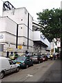
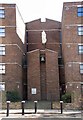
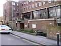
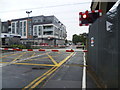
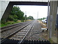
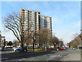
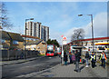
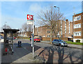
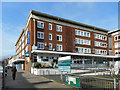
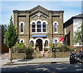
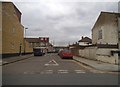
53 photos from this area
Area Information
Key information about the N17 0JN including its size, population, and administrative classification.
- Area Type
- Postcode
- Area Size
- 3268 m²
- Population
- 2267
- Population Density
- 15301 people/km²
House Prices in N17 0JN
23
Properties
£213,083
Average Sold Price
£76,000
Lowest Price
£405,000
Highest Price
Showing 23 properties
| Address | Type | Beds | Baths | Last Sale Price | Last Sale Date | |
|---|---|---|---|---|---|---|
| 152 Park Lane, Tottenham, London, N17 0JN | Terraced | 5 | 4 | £405,000 | Nov 2016 | |
| 172 Park Lane, Tottenham, London, N17 0JN | house | - | - | £240,000 | Apr 2014 | |
| 158 Park Lane, Tottenham, London, N17 0JN | house | - | - | £242,500 | Oct 2009 | |
| 168 Park Lane, Tottenham, London, N17 0JN | house | - | - | £150,000 | Apr 2002 | |
| 162 Park Lane, Tottenham, London, N17 0JN | Terraced | 2 | 2 | £165,000 | Mar 2002 | |
| 164 Park Lane, Tottenham, London, N17 0JN | Terraced | - | - | £76,000 | Feb 1998 | |
| Ground Floor Flat A, 154 Park Lane, Tottenham, London, N17 0JN | Flat | 2 | 1 | - | - | |
| Flat A, 148 Park Lane, Tottenham, London, N17 0JN | Flat | 2 | 1 | - | - | |
| 156 Park Lane, Tottenham, London, N17 0JN | Terraced | 3 | 1 | - | - | |
| 178 PARK LANE, Tottenham, London, N17 0JN | Retail | - | - | - | - |
Page 1 of 3
Energy Efficiency in N17 0JN
Amenities
Schools
| Rank | School | Type | Entry gender | Ages |
|---|
Explore more schools in this area
Go to Schools tabDemographics
Household Size
One person
most common
Accommodation Type
Houses
most common
Tenure
28
majority
Ethnic Group
White
most common
Religion
N/A
most common
Household Composition
N/A
most common
Age
47
median
Adults (30-64 years)
most common
Household Deprivation
N/A
with no deprivation
NS-SEC
19
in Lower managerial occupations
Explore more demographic insights in this area
Go to Demographics tabPlanning
Planning Constraints
- Flood RiskPremium
- Ramsar Wetland SitesPremium
- Area of Outstanding Natural BeautyPremium
- Protected Nature ReservePremium
- Protected WoodlandPremium