Area Overview for N16 5SW
Photos of N16 5SW
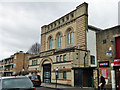
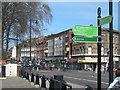
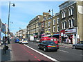
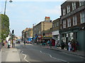
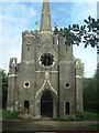
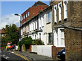
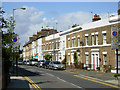
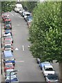
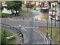
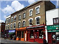
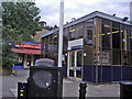
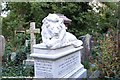
100 photos from this area
Area Information
Key information about the N16 5SW including its size, population, and administrative classification.
- Area Type
- Postcode
- Area Size
- 2.0 hectares
- Population
- 1722
- Population Density
- 11659 people/km²
House Prices in N16 5SW
34
Properties
£693,996
Average Sold Price
£113,950
Lowest Price
£1,100,000
Highest Price
Showing 34 properties
| Address | Type | Beds | Baths | Last Sale Price | Last Sale Date | |
|---|---|---|---|---|---|---|
| 51 Listria Park, Hackney, London, N16 5SW | Terraced | 3 | 1 | £1,100,000 | Jul 2023 | |
| 37 Listria Park, Hackney, London, N16 5SW | Terraced | 5 | 2 | £1,030,000 | Jun 2023 | |
| 3 Listria Park, Hackney, London, N16 5SW | Terraced | 2 | 1 | £1,000,000 | Feb 2020 | |
| 41 Listria Park, Hackney, London, N16 5SW | Terraced | 5 | 2 | £1,000,000 | Nov 2018 | |
| 43 Listria Park, Hackney, London, N16 5SW | house | - | - | £765,000 | Oct 2016 | |
| 45 Listria Park, Hackney, London, N16 5SW | house | 4 | 2 | £1,100,000 | Aug 2016 | |
| 23 Listria Park, Hackney, London, N16 5SW | Terraced | 4 | 2 | £925,000 | Sep 2015 | |
| 59 Listria Park, Hackney, London, N16 5SW | house | 4 | - | £600,000 | Jun 2011 | |
| 15 Listria Park, Hackney, London, N16 5SW | house | - | - | £550,000 | Sep 2010 | |
| 39 Listria Park, Hackney, London, N16 5SW | Terraced | - | - | £527,000 | Jun 2008 |
Page 1 of 4
Energy Efficiency in N16 5SW
Amenities
Schools
| Rank | School | Type | Entry gender | Ages |
|---|
Explore more schools in this area
Go to Schools tabDemographics
Household Size
Family (3-5 people)
most common
Accommodation Type
Flats
most common
Tenure
28
majority
Ethnic Group
White
most common
Religion
N/A
most common
Household Composition
N/A
most common
Age
22
median
Adults (30-64 years)
most common
Household Deprivation
N/A
with no deprivation
NS-SEC
36
in Lower managerial occupations
Explore more demographic insights in this area
Go to Demographics tabPlanning
Planning Constraints
- Flood RiskPremium
- Ramsar Wetland SitesPremium
- Area of Outstanding Natural BeautyPremium
- Protected Nature ReservePremium
- Protected WoodlandPremium