Area Overview for N15 6JT
Photos of N15 6JT
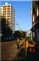
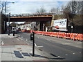
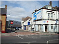
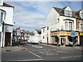
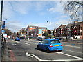
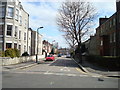
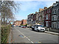
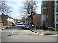
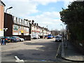
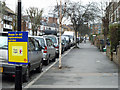
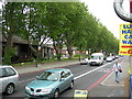
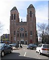
100 photos from this area
Area Information
Key information about the N15 6JT including its size, population, and administrative classification.
- Area Type
- Postcode
- Area Size
- 8581 m²
- Population
- 1990
- Population Density
- 18274 people/km²
House Prices in N15 6JT
60
Properties
£399,154
Average Sold Price
£37,800
Lowest Price
£965,000
Highest Price
Showing 60 properties
| Address | Type | Beds | Baths | Last Sale Price | Last Sale Date | |
|---|---|---|---|---|---|---|
| 81 Lealand Road, Tottenham, London, N15 6JT | house | 3 | 1 | £865,000 | May 2024 | |
| 75 Lealand Road, Tottenham, London, N15 6JT | Terraced | 3 | 2 | £780,000 | Mar 2024 | |
| 76 Lealand Road, Tottenham, London, N15 6JT | house | - | - | £880,000 | Jul 2023 | |
| 102 Lealand Road, Tottenham, London, N15 6JT | house | - | - | £915,000 | Jan 2023 | |
| 72 Lealand Road, Tottenham, London, N15 6JT | house | - | - | £965,000 | Jul 2022 | |
| 83 Lealand Road, Tottenham, London, N15 6JT | Terraced | 4 | 1 | £815,000 | Apr 2021 | |
| 67 Lealand Road, Tottenham, London, N15 6JT | house | - | - | £750,000 | Feb 2020 | |
| 96 Lealand Road, Tottenham, London, N15 6JT | Terraced | 3 | 3 | £800,000 | Jul 2019 | |
| 100 Lealand Road, Tottenham, London, N15 6JT | Terraced | 3 | 1 | £810,000 | Jan 2019 | |
| 73 Lealand Road, Tottenham, London, N15 6JT | house | 3 | 1 | £795,000 | Jul 2017 |
Page 1 of 6
Energy Efficiency in N15 6JT
Amenities
Schools
| Rank | School | Type | Entry gender | Ages |
|---|
Explore more schools in this area
Go to Schools tabDemographics
Household Size
Family (3-5 people)
most common
Accommodation Type
Houses
most common
Tenure
41
majority
Ethnic Group
White
most common
Religion
N/A
most common
Household Composition
N/A
most common
Age
22
median
Children (0-14 years)
most common
Household Deprivation
N/A
with no deprivation
NS-SEC
26
in Lower managerial occupations
Explore more demographic insights in this area
Go to Demographics tabPlanning
Planning Constraints
- Flood RiskPremium
- Ramsar Wetland SitesPremium
- Area of Outstanding Natural BeautyPremium
- Protected Nature ReservePremium
- Protected WoodlandPremium