Area Overview for N14 5NP
Photos of N14 5NP
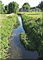
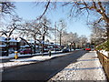
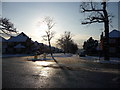
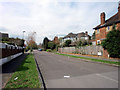
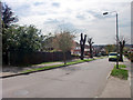
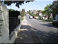
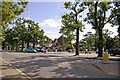
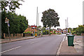
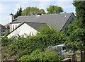
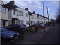
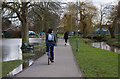
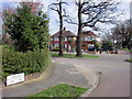
100 photos from this area
Area Information
Key information about the N14 5NP including its size, population, and administrative classification.
- Area Type
- Postcode
- Area Size
- 5840 m²
- Population
- 1395
- Population Density
- 5091 people/km²
House Prices in N14 5NP
12
Properties
£676,375
Average Sold Price
£120,000
Lowest Price
£924,000
Highest Price
Showing 12 properties
| Address | Type | Beds | Baths | Last Sale Price | Last Sale Date | |
|---|---|---|---|---|---|---|
| 7 Oak Way, Southgate, London, N14 5NP | Semi-detached | 3 | - | £835,000 | Sep 2023 | |
| 1 Oak Way, Southgate, London, N14 5NP | Semi-detached | 3 | 1 | £822,000 | Mar 2020 | |
| 25 Oak Way, Southgate, London, N14 5NP | Semi-detached | 5 | 3 | £900,000 | Sep 2019 | |
| 23 Oak Way, Southgate, London, N14 5NP | house | - | - | £765,000 | Jul 2019 | |
| 21 Oak Way, Southgate, London, N14 5NP | house | - | - | £924,000 | Mar 2017 | |
| 17 Oak Way, Southgate, London, N14 5NP | Semi-detached | 5 | 2 | £800,000 | Apr 2016 | |
| 15 Oak Way, Southgate, London, N14 5NP | Semi-detached | 1 | 2 | £245,000 | Oct 1999 | |
| 19 Oak Way, Southgate, London, N14 5NP | Semi-detached | - | - | £120,000 | Aug 1996 | |
| 5 Oak Way, Southgate, London, N14 5NP | house | 3 | - | - | - | |
| 9 Oak Way, Southgate, London, N14 5NP | Detached | - | - | - | - |
Page 1 of 2
Energy Efficiency in N14 5NP
Amenities
Schools
| Rank | School | Type | Entry gender | Ages |
|---|
Explore more schools in this area
Go to Schools tabDemographics
Household Size
Family (3-5 people)
most common
Accommodation Type
Houses
most common
Tenure
91
majority
Ethnic Group
White
most common
Religion
N/A
most common
Household Composition
N/A
most common
Age
47
median
Adults (30-64 years)
most common
Household Deprivation
N/A
with no deprivation
NS-SEC
43
in Lower managerial occupations
Explore more demographic insights in this area
Go to Demographics tabPlanning
Planning Constraints
- Flood RiskPremium
- Ramsar Wetland SitesPremium
- Area of Outstanding Natural BeautyPremium
- Protected Nature ReservePremium
- Protected WoodlandPremium