Area Overview for N14 4LF
Photos of N14 4LF
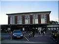
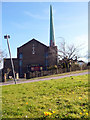
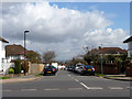
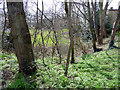
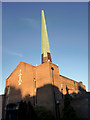
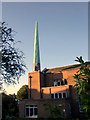
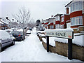
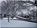
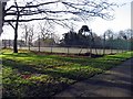
100 photos from this area
Area Information
Key information about the N14 4LF including its size, population, and administrative classification.
- Area Type
- Postcode
- Area Size
- 8498 m²
- Population
- 1562
- Population Density
- 6061 people/km²
House Prices in N14 4LF
19
Properties
£381,585
Average Sold Price
£115,000
Lowest Price
£715,000
Highest Price
Showing 19 properties
| Address | Type | Beds | Baths | Last Sale Price | Last Sale Date | |
|---|---|---|---|---|---|---|
| 7 St Johns Close, Southgate, N14 4LF | Semi-detached | 3 | 1 | £715,000 | Aug 2025 | |
| 5 St Johns Close, Southgate, N14 4LF | house | 3 | 2 | £670,000 | May 2022 | |
| 14 St Johns Close, Southgate, N14 4LF | Terraced | 3 | 2 | £565,000 | Jan 2016 | |
| 19 St Johns Close, Southgate, N14 4LF | Semi-detached | 4 | 2 | £475,000 | Oct 2013 | |
| 17 St Johns Close, Southgate, N14 4LF | Flat | 1 | 1 | £545,000 | Jul 2012 | |
| 18 St Johns Close, Southgate, N14 4LF | Semi-detached | 5 | 2 | £355,000 | Apr 2009 | |
| 13 St Johns Close, Southgate, N14 4LF | Terraced | - | - | £335,000 | Oct 2006 | |
| 10 St Johns Close, Southgate, N14 4LF | Terraced | - | - | £359,995 | Oct 2006 | |
| 8 St Johns Close, Southgate, N14 4LF | Flat | - | - | £300,000 | May 2003 | |
| 16 St Johns Close, Southgate, N14 4LF | Detached | - | - | £343,800 | Mar 2002 |
Page 1 of 2
Energy Efficiency in N14 4LF
Amenities
Schools
| Rank | School | Type | Entry gender | Ages |
|---|
Explore more schools in this area
Go to Schools tabDemographics
Household Size
Family (3-5 people)
most common
Accommodation Type
Houses
most common
Tenure
58
majority
Ethnic Group
White
most common
Religion
N/A
most common
Household Composition
N/A
most common
Age
47
median
Adults (30-64 years)
most common
Household Deprivation
N/A
with no deprivation
NS-SEC
38
in Lower managerial occupations
Explore more demographic insights in this area
Go to Demographics tabPlanning
Planning Constraints
- Flood RiskPremium
- Ramsar Wetland SitesPremium
- Area of Outstanding Natural BeautyPremium
- Protected Nature ReservePremium
- Protected WoodlandPremium