Area Overview for N14 4AU
Photos of N14 4AU
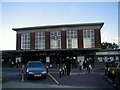
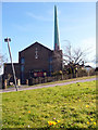
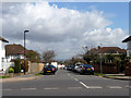
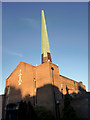
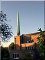
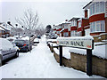
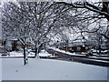
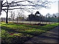
100 photos from this area
Area Information
Key information about the N14 4AU including its size, population, and administrative classification.
- Area Type
- Postcode
- Area Size
- 1.1 hectares
- Population
- 1740
- Population Density
- 2807 people/km²
House Prices in N14 4AU
57
Properties
£165,705
Average Sold Price
£50,500
Lowest Price
£280,000
Highest Price
Showing 57 properties
| Address | Type | Beds | Baths | Last Sale Price | Last Sale Date | |
|---|---|---|---|---|---|---|
| 20 Green Road, Southgate, N14 4AU | Maisonette | 1 | 1 | £280,000 | May 2017 | |
| 12 Green Road, Southgate, N14 4AU | Flat | - | - | £125,000 | Mar 2016 | |
| 10 Green Road, Southgate, N14 4AU | Maisonette | 1 | 1 | £175,000 | Apr 2015 | |
| 22 Green Road, Southgate, N14 4AU | Flat | 1 | 1 | £238,000 | Feb 2015 | |
| 26 Green Road, Southgate, N14 4AU | Maisonette | 1 | 1 | £183,000 | Sep 2013 | |
| 14 Green Road, Southgate, N14 4AU | Flat | - | - | £160,000 | Mar 2012 | |
| 8 Green Road, Southgate, N14 4AU | Flat | - | - | £172,750 | Nov 2010 | |
| 16 Green Road, Southgate, N14 4AU | Flat | - | - | £155,000 | Jun 2006 | |
| 30 Green Road, Southgate, N14 4AU | Flat | - | - | £143,500 | May 2003 | |
| 24 Green Road, Southgate, N14 4AU | Flat | - | - | £140,000 | Apr 2003 |
Page 1 of 6
Energy Efficiency in N14 4AU
Amenities
Schools
| Rank | School | Type | Entry gender | Ages |
|---|
Explore more schools in this area
Go to Schools tabDemographics
Household Size
Family (3-5 people)
most common
Accommodation Type
Houses
most common
Tenure
63
majority
Ethnic Group
White
most common
Religion
N/A
most common
Household Composition
N/A
most common
Age
47
median
Adults (30-64 years)
most common
Household Deprivation
N/A
with no deprivation
NS-SEC
38
in Lower managerial occupations
Explore more demographic insights in this area
Go to Demographics tabPlanning
Planning Constraints
- Flood RiskPremium
- Ramsar Wetland SitesPremium
- Area of Outstanding Natural BeautyPremium
- Protected Nature ReservePremium
- Protected WoodlandPremium