Area Overview for N13 6AT
Photos of N13 6AT
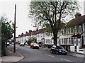
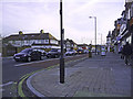
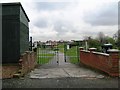
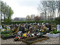
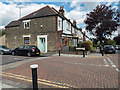
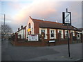
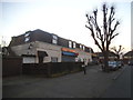
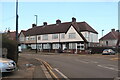
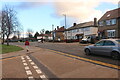

35 photos from this area
Area Information
Key information about the N13 6AT including its size, population, and administrative classification.
- Area Type
- Postcode
- Area Size
- 3.5 hectares
- Population
- 1980
- Population Density
- 9626 people/km²
House Prices in N13 6AT
69
Properties
£187,885
Average Sold Price
£70,000
Lowest Price
£500,000
Highest Price
Showing 69 properties
| Address | Type | Beds | Baths | Last Sale Price | Last Sale Date | |
|---|---|---|---|---|---|---|
| 59 Thetford Close, Tottenham, London, N13 6AT | house | - | - | £500,000 | Feb 2024 | |
| 41 Thetford Close, Tottenham, London, N13 6AT | Flat | - | - | £230,000 | Jun 2021 | |
| 14 Thetford Close, Tottenham, London, N13 6AT | Terraced | 2 | - | £375,000 | Mar 2021 | |
| 36 Thetford Close, Tottenham, London, N13 6AT | Terraced | 4 | - | £282,000 | Oct 2013 | |
| 39 Thetford Close, Tottenham, London, N13 6AT | Flat | - | - | £128,000 | Nov 2011 | |
| 6 Thetford Close, Tottenham, London, N13 6AT | house | - | - | £100,000 | May 2010 | |
| 26 Thetford Close, Tottenham, London, N13 6AT | house | 3 | 1 | £235,000 | Aug 2006 | |
| 23 Thetford Close, Tottenham, London, N13 6AT | house | - | - | £133,500 | Apr 2002 | |
| 3 Thetford Close, Tottenham, London, N13 6AT | house | - | - | £136,000 | Nov 2001 | |
| 5 Thetford Close, Tottenham, London, N13 6AT | house | - | - | £102,000 | Dec 1999 |
Page 1 of 7
Energy Efficiency in N13 6AT
Amenities
Schools
| Rank | School | Type | Entry gender | Ages |
|---|
Explore more schools in this area
Go to Schools tabDemographics
Household Size
Family (3-5 people)
most common
Accommodation Type
Flats
most common
Tenure
42
majority
Ethnic Group
White
most common
Religion
N/A
most common
Household Composition
N/A
most common
Age
47
median
Adults (30-64 years)
most common
Household Deprivation
N/A
with no deprivation
NS-SEC
35
in Lower managerial occupations
Explore more demographic insights in this area
Go to Demographics tabPlanning
Planning Constraints
- Flood RiskPremium
- Ramsar Wetland SitesPremium
- Area of Outstanding Natural BeautyPremium
- Protected Nature ReservePremium
- Protected WoodlandPremium