Area Overview for N13 4RH
Photos of N13 4RH
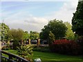
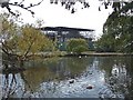
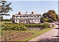
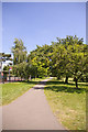
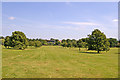
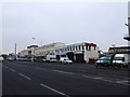
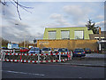
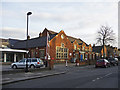

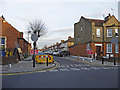

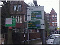
100 photos from this area
Area Information
Key information about the N13 4RH including its size, population, and administrative classification.
- Area Type
- Postcode
- Area Size
- 1.6 hectares
- Population
- 1781
- Population Density
- 8968 people/km²
House Prices in N13 4RH
79
Properties
£785,779
Average Sold Price
£140,000
Lowest Price
£9,659,766
Highest Price
Showing 79 properties
| Address | Type | Beds | Baths | Last Sale Price | Last Sale Date | |
|---|---|---|---|---|---|---|
| 8B Grovelands Road, Southgate, N13 4RH | Flat | - | - | £295,000 | Sep 2024 | |
| 30 Grovelands Road, Southgate, N13 4RH | Flat | 2 | 1 | £470,000 | Oct 2023 | |
| 42 Grovelands Road, Southgate, N13 4RH | Flat | 1 | 1 | £300,000 | Sep 2023 | |
| 56B Grovelands Road, Southgate, N13 4RH | Flat | - | - | £460,000 | Mar 2023 | |
| 24 Grovelands Road, Southgate, N13 4RH | Flat | 2 | 1 | £210,000 | Sep 2022 | |
| 48 Grovelands Road, Southgate, N13 4RH | Flat | 1 | - | £700,000 | Sep 2021 | |
| 8A Grovelands Road, Southgate, N13 4RH | Flat | 2 | 1 | £385,000 | Sep 2021 | |
| 54 Grovelands Road, Southgate, N13 4RH | Flat | - | - | £560,000 | Jun 2021 | |
| 76 Grovelands Road, Southgate, N13 4RH | house | - | - | £895,000 | Jun 2021 | |
| 28 Grovelands Road, Southgate, N13 4RH | Flat | - | - | £433,250 | Jan 2019 |
Page 1 of 8
Energy Efficiency in N13 4RH
Amenities
Schools
| Rank | School | Type | Entry gender | Ages |
|---|
Explore more schools in this area
Go to Schools tabDemographics
Household Size
Family (3-5 people)
most common
Accommodation Type
Flats
most common
Tenure
69
majority
Ethnic Group
White
most common
Religion
N/A
most common
Household Composition
N/A
most common
Age
47
median
Adults (30-64 years)
most common
Household Deprivation
N/A
with no deprivation
NS-SEC
48
in Lower managerial occupations
Explore more demographic insights in this area
Go to Demographics tabPlanning
Planning Constraints
- Flood RiskPremium
- Ramsar Wetland SitesPremium
- Area of Outstanding Natural BeautyPremium
- Protected Nature ReservePremium
- Protected WoodlandPremium