Area Overview for N12 9JR
Photos of N12 9JR
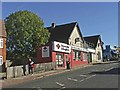
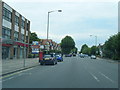
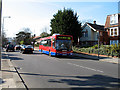
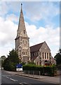

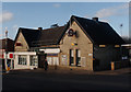
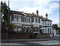
86 photos from this area
Area Information
Key information about the N12 9JR including its size, population, and administrative classification.
- Area Type
- Postcode
- Area Size
- 3.8 hectares
- Population
- 1436
- Population Density
- 2236 people/km²
House Prices in N12 9JR
22
Properties
£183,747
Average Sold Price
£40,000
Lowest Price
£293,000
Highest Price
Showing 22 properties
| Address | Type | Beds | Baths | Last Sale Price | Last Sale Date | |
|---|---|---|---|---|---|---|
| 17, Park Close, Finchley Park, North Finchley, London, N12 9JR | Flat | 1 | 1 | £260,000 | Oct 2025 | |
| 20, Park Close, Finchley Park, North Finchley, London, N12 9JR | Flat | - | - | £265,000 | Jun 2024 | |
| 18, Park Close, Finchley Park, North Finchley, London, N12 9JR | Flat | - | - | £293,000 | May 2023 | |
| 19, Park Close, Finchley Park, North Finchley, London, N12 9JR | Flat | - | - | £265,000 | Nov 2019 | |
| 21, Park Close, Finchley Park, North Finchley, London, N12 9JR | Flat | 1 | 1 | £260,000 | May 2017 | |
| 14, Park Close, Finchley Park, North Finchley, London, N12 9JR | Flat | 1 | 1 | £260,000 | May 2017 | |
| 22, Park Close, Finchley Park, North Finchley, London, N12 9JR | Flat | 1 | 1 | £245,000 | Nov 2016 | |
| 7, Park Close, Finchley Park, North Finchley, London, N12 9JR | Flat | - | - | £248,000 | Oct 2014 | |
| 11, Park Close, Finchley Park, North Finchley, London, N12 9JR | Flat | - | - | £185,000 | Dec 2013 | |
| 9, Park Close, Finchley Park, North Finchley, London, N12 9JR | Flat | - | - | £176,000 | Oct 2012 |
Page 1 of 3
Energy Efficiency in N12 9JR
Amenities
Schools
| Rank | School | Type | Entry gender | Ages |
|---|
Explore more schools in this area
Go to Schools tabDemographics
Household Size
Family (3-5 people)
most common
Accommodation Type
Houses
most common
Tenure
90
majority
Ethnic Group
White
most common
Religion
N/A
most common
Household Composition
N/A
most common
Age
47
median
Adults (30-64 years)
most common
Household Deprivation
N/A
with no deprivation
NS-SEC
52
in Lower managerial occupations
Explore more demographic insights in this area
Go to Demographics tabPlanning
Planning Constraints
- Flood RiskPremium
- Ramsar Wetland SitesPremium
- Area of Outstanding Natural BeautyPremium
- Protected Nature ReservePremium
- Protected WoodlandPremium