Area Overview for N12 9HA
Photos of N12 9HA
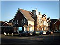

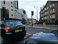

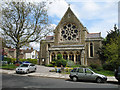

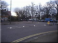
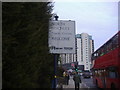
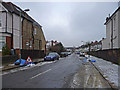
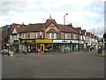

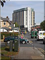
100 photos from this area
Area Information
Key information about the N12 9HA including its size, population, and administrative classification.
- Area Type
- Postcode
- Area Size
- 2.2 hectares
- Population
- 1926
- Population Density
- 7069 people/km²
House Prices in N12 9HA
25
Properties
£301,630
Average Sold Price
£125,000
Lowest Price
£1,107,500
Highest Price
Showing 25 properties
| Address | Type | Beds | Baths | Last Sale Price | Last Sale Date | |
|---|---|---|---|---|---|---|
| 29 Fenstanton Avenue, North Finchley, London, N12 9HA | Terraced | 2 | 1 | £460,000 | Nov 2020 | |
| 1 Fenstanton Avenue, North Finchley, London, N12 9HA | Terraced | 1 | 1 | £1,107,500 | Dec 2017 | |
| 31 Fenstanton Avenue, North Finchley, London, N12 9HA | Terraced | - | - | £245,000 | Jun 2009 | |
| 19 Fenstanton Avenue, North Finchley, London, N12 9HA | Terraced | - | - | £415,000 | May 2008 | |
| 33 Fenstanton Avenue, North Finchley, London, N12 9HA | house | - | - | £279,950 | May 2007 | |
| 27 Fenstanton Avenue, North Finchley, London, N12 9HA | Semi-detached | 1 | 1 | £188,000 | Dec 2006 | |
| 25 Fenstanton Avenue, North Finchley, London, N12 9HA | Terraced | - | - | £195,000 | Aug 2006 | |
| 39 Fenstanton Avenue, North Finchley, London, N12 9HA | Terraced | 1 | 1 | £173,000 | Oct 2005 | |
| 41 Fenstanton Avenue, North Finchley, London, N12 9HA | house | 1 | 1 | £180,000 | Sep 2005 | |
| 9 Fenstanton Avenue, North Finchley, London, N12 9HA | house | - | - | £484,000 | Aug 2005 |
Page 1 of 3
Energy Efficiency in N12 9HA
Amenities
Schools
| Rank | School | Type | Entry gender | Ages |
|---|
Explore more schools in this area
Go to Schools tabDemographics
Household Size
Family (3-5 people)
most common
Accommodation Type
Houses
most common
Tenure
69
majority
Ethnic Group
White
most common
Religion
N/A
most common
Household Composition
N/A
most common
Age
47
median
Adults (30-64 years)
most common
Household Deprivation
N/A
with no deprivation
NS-SEC
35
in Lower managerial occupations
Explore more demographic insights in this area
Go to Demographics tabPlanning
Planning Constraints
- Flood RiskPremium
- Ramsar Wetland SitesPremium
- Area of Outstanding Natural BeautyPremium
- Protected Nature ReservePremium
- Protected WoodlandPremium