Area Overview for KT6 5DN
Photos of KT6 5DN
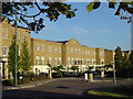
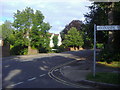
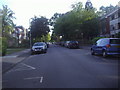
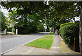
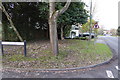
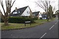
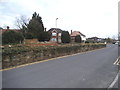
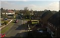
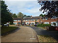
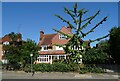
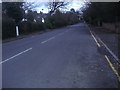
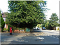
26 photos from this area
Area Information
Key information about the KT6 5DN including its size, population, and administrative classification.
- Area Type
- Postcode
- Area Size
- 5.4 hectares
- Population
- 1678
- Population Density
- 5882 people/km²
House Prices in KT6 5DN
24
Properties
£885,313
Average Sold Price
£265,000
Lowest Price
£1,415,000
Highest Price
Showing 24 properties
| Address | Type | Beds | Baths | Last Sale Price | Last Sale Date | |
|---|---|---|---|---|---|---|
| 45 Victoria Avenue, Surbiton, KT6 5DN | Maisonette | - | - | £750,000 | Jul 2022 | |
| 65 Victoria Avenue, Surbiton, KT6 5DN | house | - | - | £1,170,000 | Apr 2021 | |
| 53 Victoria Avenue, Surbiton, KT6 5DN | Semi-detached | 4 | 1 | £1,415,000 | Apr 2021 | |
| 57 Victoria Avenue, Surbiton, KT6 5DN | Semi-detached | 5 | - | £1,325,000 | Jul 2014 | |
| 55 Victoria Avenue, Surbiton, KT6 5DN | Semi-detached | 4 | 2 | £915,000 | Jan 2013 | |
| 47 Victoria Avenue, Surbiton, KT6 5DN | Semi-detached | - | - | £612,500 | Feb 2005 | |
| 67 Victoria Avenue, Surbiton, KT6 5DN | Semi-detached | 5 | 2 | £630,000 | Oct 2004 | |
| 49 Victoria Avenue, Surbiton, KT6 5DN | Semi-detached | - | - | £265,000 | Dec 1998 | |
| Flat 1, 39 Victoria Avenue, Surbiton, KT6 5DN | Flat | 2 | 2 | - | - | |
| Flat 3, 39 Victoria Avenue, Surbiton, KT6 5DN | Flat | 1 | 1 | - | - |
Page 1 of 3
Energy Efficiency in KT6 5DN
Amenities
Schools
| Rank | School | Type | Entry gender | Ages |
|---|
Explore more schools in this area
Go to Schools tabDemographics
Household Size
One person
most common
Accommodation Type
Flats
most common
Tenure
56
majority
Ethnic Group
White
most common
Religion
N/A
most common
Household Composition
N/A
most common
Age
47
median
Adults (30-64 years)
most common
Household Deprivation
N/A
with no deprivation
NS-SEC
42
in Lower managerial occupations
Explore more demographic insights in this area
Go to Demographics tabPlanning
Planning Constraints
- Flood RiskPremium
- Ramsar Wetland SitesPremium
- Area of Outstanding Natural BeautyPremium
- Protected Nature ReservePremium
- Protected WoodlandPremium