Area Overview for KT4 8XA
Photos of KT4 8XA

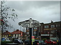
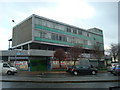
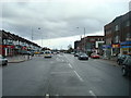
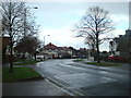

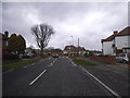
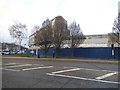
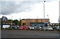
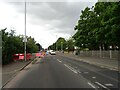
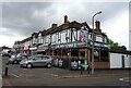
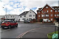
47 photos from this area
Area Information
Key information about the KT4 8XA including its size, population, and administrative classification.
- Area Type
- Postcode
- Area Size
- 2.2 hectares
- Population
- 1390
- Population Density
- 5361 people/km²
House Prices in KT4 8XA
26
Properties
£591,596
Average Sold Price
£159,000
Lowest Price
£1,200,000
Highest Price
Showing 26 properties
| Address | Type | Beds | Baths | Last Sale Price | Last Sale Date | |
|---|---|---|---|---|---|---|
| 36 Kingsmead Avenue, Worcester Park, KT4 8XA | Semi-detached | 3 | 1 | £1,200,000 | Oct 2023 | |
| 35 Kingsmead Avenue, Worcester Park, KT4 8XA | Detached | 4 | - | £1,150,000 | Sep 2021 | |
| 52 Kingsmead Avenue, Worcester Park, KT4 8XA | Semi-detached | 4 | 1 | £685,000 | Aug 2017 | |
| 39 Kingsmead Avenue, Worcester Park, KT4 8XA | Bungalow | 2 | 1 | £1,140,000 | Jun 2017 | |
| 51 Kingsmead Avenue, Worcester Park, KT4 8XA | house | 4 | - | £600,000 | Apr 2010 | |
| 42 Kingsmead Avenue, Worcester Park, KT4 8XA | Semi-detached | - | - | £659,950 | Jan 2010 | |
| 33 Kingsmead Avenue, Worcester Park, KT4 8XA | house | - | - | £385,000 | Nov 2009 | |
| 43 Kingsmead Avenue, Worcester Park, KT4 8XA | Detached | - | - | £552,500 | Jun 2006 | |
| 44 Kingsmead Avenue, Worcester Park, KT4 8XA | Detached | - | - | £550,000 | Aug 2005 | |
| 50 Kingsmead Avenue, Worcester Park, KT4 8XA | Detached | 5 | 2 | £500,000 | Mar 2002 |
Page 1 of 3
Energy Efficiency in KT4 8XA
Amenities
Schools
| Rank | School | Type | Entry gender | Ages |
|---|
Explore more schools in this area
Go to Schools tabDemographics
Household Size
Family (3-5 people)
most common
Accommodation Type
Houses
most common
Tenure
85
majority
Ethnic Group
White
most common
Religion
N/A
most common
Household Composition
N/A
most common
Age
47
median
Adults (30-64 years)
most common
Household Deprivation
N/A
with no deprivation
NS-SEC
45
in Lower managerial occupations
Explore more demographic insights in this area
Go to Demographics tabPlanning
Planning Constraints
- Flood RiskPremium
- Ramsar Wetland SitesPremium
- Area of Outstanding Natural BeautyPremium
- Protected Nature ReservePremium
- Protected WoodlandPremium