Area Overview for KT3 6PA
Photos of KT3 6PA

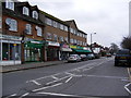
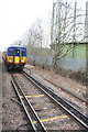
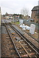
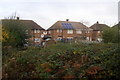
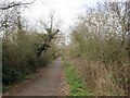
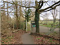
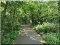
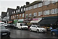
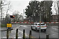
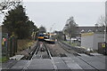
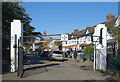
62 photos from this area
Area Information
Key information about the KT3 6PA including its size, population, and administrative classification.
- Area Type
- Postcode
- Area Size
- 9151 m²
- Population
- 1651
- Population Density
- 5592 people/km²
House Prices in KT3 6PA
32
Properties
£355,010
Average Sold Price
£85,000
Lowest Price
£1,200,000
Highest Price
Showing 32 properties
| Address | Type | Beds | Baths | Last Sale Price | Last Sale Date | |
|---|---|---|---|---|---|---|
| 443 West Barnes Lane, New Malden, KT3 6PA | Maisonette | 2 | 1 | £445,000 | Oct 2025 | |
| 441 West Barnes Lane, New Malden, KT3 6PA | Flat | - | - | £390,000 | Nov 2022 | |
| 453 West Barnes Lane, New Malden, KT3 6PA | house | - | - | £692,000 | Apr 2022 | |
| 439 West Barnes Lane, New Malden, KT3 6PA | Maisonette | 2 | 1 | £355,000 | Jun 2021 | |
| 421 West Barnes Lane, New Malden, KT3 6PA | Flat | - | - | £351,000 | Jan 2020 | |
| 419 West Barnes Lane, New Malden, KT3 6PA | Maisonette | 2 | 1 | £334,000 | Sep 2019 | |
| 461 West Barnes Lane, New Malden, KT3 6PA | Semi-detached | 4 | 1 | £599,500 | Dec 2017 | |
| 463 West Barnes Lane, New Malden, KT3 6PA | Semi-detached | 5 | 3 | £1,200,000 | Oct 2017 | |
| 457 West Barnes Lane, New Malden, KT3 6PA | Semi-detached | 5 | 2 | £700,000 | Feb 2017 | |
| 423 West Barnes Lane, New Malden, KT3 6PA | Maisonette | 2 | 1 | £350,000 | Dec 2016 |
Page 1 of 4
Energy Efficiency in KT3 6PA
Amenities
Schools
| Rank | School | Type | Entry gender | Ages |
|---|
Explore more schools in this area
Go to Schools tabDemographics
Household Size
Family (3-5 people)
most common
Accommodation Type
Houses
most common
Tenure
60
majority
Ethnic Group
White
most common
Religion
N/A
most common
Household Composition
N/A
most common
Age
47
median
Adults (30-64 years)
most common
Household Deprivation
N/A
with no deprivation
NS-SEC
34
in Lower managerial occupations
Explore more demographic insights in this area
Go to Demographics tabPlanning
Planning Constraints
- Flood RiskPremium
- Ramsar Wetland SitesPremium
- Area of Outstanding Natural BeautyPremium
- Protected Nature ReservePremium
- Protected WoodlandPremium