Area Overview for KT3 6ET
Photos of KT3 6ET
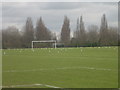
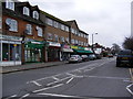
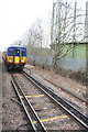
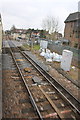
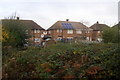
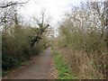
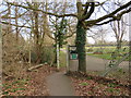
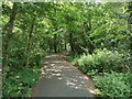
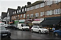
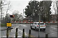
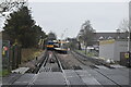
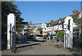
62 photos from this area
Area Information
Key information about the KT3 6ET including its size, population, and administrative classification.
- Area Type
- Postcode
- Area Size
- 7103 m²
- Population
- 1651
- Population Density
- 5592 people/km²
House Prices in KT3 6ET
21
Properties
£380,875
Average Sold Price
£117,000
Lowest Price
£930,000
Highest Price
Showing 21 properties
| Address | Type | Beds | Baths | Last Sale Price | Last Sale Date | |
|---|---|---|---|---|---|---|
| 3 Blakes Terrace, New Malden, KT3 6ET | Semi-detached | 3 | 2 | £600,000 | Nov 2024 | |
| 8 Blakes Terrace, New Malden, KT3 6ET | Terraced | 4 | 2 | £930,000 | Oct 2024 | |
| 18 Blakes Terrace, New Malden, KT3 6ET | Terraced | 4 | 2 | £550,000 | May 2021 | |
| 12 Blakes Terrace, New Malden, KT3 6ET | Detached | 4 | 2 | £485,000 | Sep 2016 | |
| 16 Blakes Terrace, New Malden, KT3 6ET | Terraced | 5 | 1 | £551,000 | Aug 2016 | |
| 11 Blakes Terrace, New Malden, KT3 6ET | Semi-detached | 4 | 1 | £500,000 | Sep 2015 | |
| 24 Blakes Terrace, New Malden, KT3 6ET | house | 3 | - | £320,000 | Feb 2012 | |
| 22 Blakes Terrace, New Malden, KT3 6ET | Detached | 3 | 1 | £250,000 | Mar 2006 | |
| 6 Blakes Terrace, New Malden, KT3 6ET | Terraced | - | - | £300,000 | Jan 2006 | |
| 26 Blakes Terrace, New Malden, KT3 6ET | Terraced | - | - | £242,000 | Sep 2005 |
Page 1 of 3
Energy Efficiency in KT3 6ET
Amenities
Schools
| Rank | School | Type | Entry gender | Ages |
|---|
Explore more schools in this area
Go to Schools tabDemographics
Household Size
Family (3-5 people)
most common
Accommodation Type
Houses
most common
Tenure
60
majority
Ethnic Group
White
most common
Religion
N/A
most common
Household Composition
N/A
most common
Age
47
median
Adults (30-64 years)
most common
Household Deprivation
N/A
with no deprivation
NS-SEC
34
in Lower managerial occupations
Explore more demographic insights in this area
Go to Demographics tabPlanning
Planning Constraints
- Flood RiskPremium
- Ramsar Wetland SitesPremium
- Area of Outstanding Natural BeautyPremium
- Protected Nature ReservePremium
- Protected WoodlandPremium