Area Overview for KT3 3RX
Photos of KT3 3RX
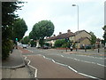
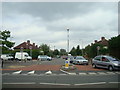
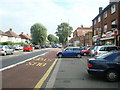
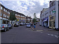
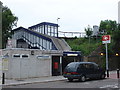
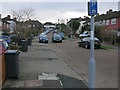
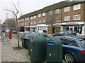
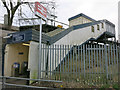
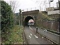

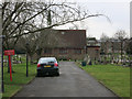
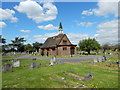
76 photos from this area
Area Information
Key information about the KT3 3RX including its size, population, and administrative classification.
- Area Type
- Postcode
- Area Size
- 9.7 hectares
- Population
- 1579
- Population Density
- 5293 people/km²
House Prices in KT3 3RX
77
Properties
£295,369
Average Sold Price
£79,000
Lowest Price
£550,000
Highest Price
Showing 77 properties
| Address | Type | Beds | Baths | Last Sale Price | Last Sale Date | |
|---|---|---|---|---|---|---|
| 270 Kingston Road, New Malden, KT3 3RX | house | - | - | £450,000 | Jun 2025 | |
| 308 Kingston Road, New Malden, KT3 3RX | Terraced | 3 | 1 | £475,000 | Jun 2023 | |
| 356 Kingston Road, New Malden, KT3 3RX | Terraced | 4 | 1 | £510,000 | Feb 2023 | |
| 346 Kingston Road, New Malden, KT3 3RX | house | - | - | £530,000 | Jun 2021 | |
| 330 Kingston Road, New Malden, KT3 3RX | Terraced | 3 | 1 | £484,120 | Apr 2021 | |
| 384 Kingston Road, New Malden, KT3 3RX | Terraced | 3 | 1 | £415,000 | Jan 2019 | |
| 264 Kingston Road, New Malden, KT3 3RX | house | 3 | 1 | £405,000 | May 2018 | |
| 322 Kingston Road, New Malden, KT3 3RX | house | - | - | £510,000 | Feb 2017 | |
| 350 Kingston Road, New Malden, KT3 3RX | Terraced | 3 | - | £415,000 | Jul 2016 | |
| 390 Kingston Road, New Malden, KT3 3RX | Detached | 3 | 2 | £550,000 | Jun 2016 |
Page 1 of 8
Energy Efficiency in KT3 3RX
Amenities
Schools
| Rank | School | Type | Entry gender | Ages |
|---|
Explore more schools in this area
Go to Schools tabDemographics
Household Size
Family (3-5 people)
most common
Accommodation Type
Houses
most common
Tenure
39
majority
Ethnic Group
White
most common
Religion
N/A
most common
Household Composition
N/A
most common
Age
47
median
Adults (30-64 years)
most common
Household Deprivation
N/A
with no deprivation
NS-SEC
23
in Lower managerial occupations
Explore more demographic insights in this area
Go to Demographics tabPlanning
Planning Constraints
- Flood RiskPremium
- Ramsar Wetland SitesPremium
- Area of Outstanding Natural BeautyPremium
- Protected Nature ReservePremium
- Protected WoodlandPremium