Area Overview for KT3 3RW
Photos of KT3 3RW
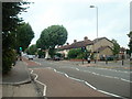
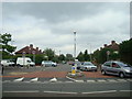
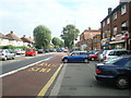
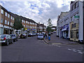
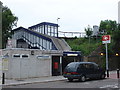
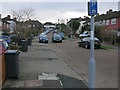
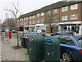
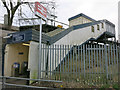
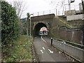
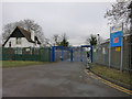
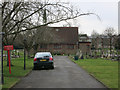
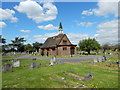
76 photos from this area
Area Information
Key information about the KT3 3RW including its size, population, and administrative classification.
- Area Type
- Postcode
- Area Size
- 2.0 hectares
- Population
- 1579
- Population Density
- 5293 people/km²
House Prices in KT3 3RW
69
Properties
£286,666
Average Sold Price
£88,000
Lowest Price
£590,000
Highest Price
Showing 69 properties
| Address | Type | Beds | Baths | Last Sale Price | Last Sale Date | |
|---|---|---|---|---|---|---|
| 24 Archdale Place, New Malden, KT3 3RW | Terraced | 2 | 2 | £440,000 | Mar 2025 | |
| 31 Archdale Place, New Malden, KT3 3RW | house | 2 | 1 | £470,000 | Dec 2024 | |
| 41 Archdale Place, New Malden, KT3 3RW | Terraced | 2 | 2 | £475,000 | Nov 2024 | |
| 1 Archdale Place, New Malden, KT3 3RW | Terraced | 2 | 2 | £590,000 | Oct 2024 | |
| 3 Archdale Place, New Malden, KT3 3RW | Terraced | 2 | 2 | £550,000 | Jul 2024 | |
| 18 Archdale Place, New Malden, KT3 3RW | Terraced | 2 | 1 | £425,000 | May 2024 | |
| 50 Archdale Place, New Malden, KT3 3RW | Terraced | 2 | 2 | £480,000 | Feb 2024 | |
| 43 Archdale Place, New Malden, KT3 3RW | house | - | - | £450,000 | Dec 2023 | |
| 63 Archdale Place, New Malden, KT3 3RW | Terraced | 2 | 2 | £490,000 | Oct 2023 | |
| 58 Archdale Place, New Malden, KT3 3RW | Terraced | 2 | 2 | £405,000 | Mar 2023 |
Page 1 of 7
Energy Efficiency in KT3 3RW
Amenities
Schools
| Rank | School | Type | Entry gender | Ages |
|---|
Explore more schools in this area
Go to Schools tabDemographics
Household Size
Family (3-5 people)
most common
Accommodation Type
Houses
most common
Tenure
39
majority
Ethnic Group
White
most common
Religion
N/A
most common
Household Composition
N/A
most common
Age
47
median
Adults (30-64 years)
most common
Household Deprivation
N/A
with no deprivation
NS-SEC
23
in Lower managerial occupations
Explore more demographic insights in this area
Go to Demographics tabPlanning
Planning Constraints
- Flood RiskPremium
- Ramsar Wetland SitesPremium
- Area of Outstanding Natural BeautyPremium
- Protected Nature ReservePremium
- Protected WoodlandPremium