Area Overview for KT2 5QA
Photos of KT2 5QA
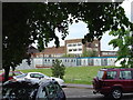

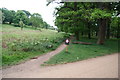
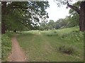
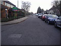
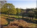
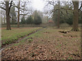
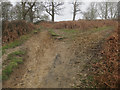
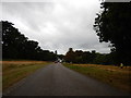
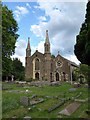
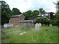
78 photos from this area
Area Information
Key information about the KT2 5QA including its size, population, and administrative classification.
- Area Type
- Postcode
- Area Size
- 3994 m²
- Population
- Not available
- Population Density
- Not available
House Prices in KT2 5QA
12
Properties
£579,369
Average Sold Price
£140,000
Lowest Price
£1,040,000
Highest Price
Showing 12 properties
| Address | Type | Beds | Baths | Last Sale Price | Last Sale Date | |
|---|---|---|---|---|---|---|
| 9 Aragon Road, Kingston Upon Thames, KT2 5QA | house | 3 | - | £1,040,000 | Nov 2021 | |
| 19 Aragon Road, Kingston Upon Thames, KT2 5QA | Terraced | 3 | - | £860,000 | Oct 2021 | |
| 3 Aragon Road, Kingston Upon Thames, KT2 5QA | Semi-detached | 3 | 2 | £850,000 | Oct 2020 | |
| 15 Aragon Road, Kingston Upon Thames, KT2 5QA | house | - | - | £679,950 | Mar 2016 | |
| 11 Aragon Road, Kingston Upon Thames, KT2 5QA | Semi-detached | 3 | - | £577,000 | Dec 2014 | |
| 17 Aragon Road, Kingston Upon Thames, KT2 5QA | Terraced | - | - | £292,000 | Sep 2004 | |
| 21 Aragon Road, Kingston Upon Thames, KT2 5QA | Terraced | 3 | 1 | £196,000 | Jan 2001 | |
| 23 Aragon Road, Kingston Upon Thames, KT2 5QA | Terraced | - | - | £140,000 | Jul 1999 | |
| 13 Aragon Road, Kingston Upon Thames, KT2 5QA | Terraced | 3 | 1 | - | - | |
| 1 Aragon Road, Kingston Upon Thames, KT2 5QA | Semi-detached | 3 | 1 | - | - |
Page 1 of 2
Energy Efficiency in KT2 5QA
Amenities
Schools
| Rank | School | Type | Entry gender | Ages |
|---|
Explore more schools in this area
Go to Schools tabDemographics
Household Size
Family (3-5 people)
most common
Accommodation Type
Houses
most common
Tenure
83
majority
Ethnic Group
White
most common
Religion
N/A
most common
Household Composition
N/A
most common
Age
47
median
Adults (30-64 years)
most common
Household Deprivation
N/A
with no deprivation
NS-SEC
51
in Lower managerial occupations
Explore more demographic insights in this area
Go to Demographics tabPlanning
Planning Constraints
- Flood RiskPremium
- Ramsar Wetland SitesPremium
- Area of Outstanding Natural BeautyPremium
- Protected Nature ReservePremium
- Protected WoodlandPremium