Area Overview for IG8 9BX
Photos of IG8 9BX
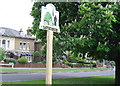
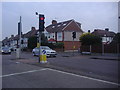
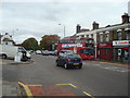
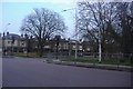
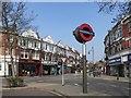

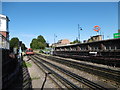
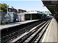
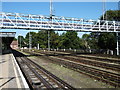
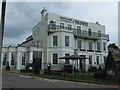
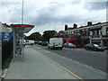
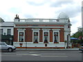
49 photos from this area
Area Information
Key information about the IG8 9BX including its size, population, and administrative classification.
- Area Type
- Postcode
- Area Size
- 5815 m²
- Population
- 1557
- Population Density
- 7700 people/km²
House Prices in IG8 9BX
16
Properties
£668,640
Average Sold Price
£308,000
Lowest Price
£951,000
Highest Price
Showing 16 properties
| Address | Type | Beds | Baths | Last Sale Price | Last Sale Date | |
|---|---|---|---|---|---|---|
| 24 The Vale, Woodford Green, IG8 9BX | Semi-detached | 4 | 2 | £845,000 | Mar 2025 | |
| 14 The Vale, Woodford Green, IG8 9BX | Semi-detached | 3 | 1 | £712,500 | Apr 2024 | |
| 23 The Vale, Woodford Green, IG8 9BX | house | - | - | £723,000 | Oct 2023 | |
| 27 The Vale, Woodford Green, IG8 9BX | house | - | - | £850,000 | May 2022 | |
| 21 The Vale, Woodford Green, IG8 9BX | house | - | - | £951,000 | Aug 2020 | |
| 19 The Vale, Woodford Green, IG8 9BX | Semi-detached | 4 | - | £776,125 | Dec 2017 | |
| 13 The Vale, Woodford Green, IG8 9BX | Semi-detached | 5 | 1 | £708,000 | Jun 2017 | |
| 16 The Vale, Woodford Green, IG8 9BX | Semi-detached | 4 | 2 | £826,104 | Apr 2017 | |
| 18 The Vale, Woodford Green, IG8 9BX | house | - | - | £394,000 | Sep 2012 | |
| 28 The Vale, Woodford Green, IG8 9BX | house | 3 | - | £465,000 | Feb 2012 |
Page 1 of 2
Energy Efficiency in IG8 9BX
Amenities
Schools
| Rank | School | Type | Entry gender | Ages |
|---|
Explore more schools in this area
Go to Schools tabDemographics
Household Size
Family (3-5 people)
most common
Accommodation Type
Houses
most common
Tenure
91
majority
Ethnic Group
White
most common
Religion
N/A
most common
Household Composition
N/A
most common
Age
47
median
Adults (30-64 years)
most common
Household Deprivation
N/A
with no deprivation
NS-SEC
55
in Lower managerial occupations
Explore more demographic insights in this area
Go to Demographics tabPlanning
Planning Constraints
- Flood RiskPremium
- Ramsar Wetland SitesPremium
- Area of Outstanding Natural BeautyPremium
- Protected Nature ReservePremium
- Protected WoodlandPremium